What is recorded here
In sloping pasture on the NW side of a ridge 450m NE of Oola Hill. The townland boundary with Oolahills West is 250m to W and Oola or Cullen’s Castle (LI033A008002-) lies 520m to SE. The site is not depicted on the 1840 ed. OSi 6-inch map and is not depicted on the 1897 ed. OSi 25-inch map. The enclosure is visible as a circular enclosure on the OSi orthoimage taken 2005-12 and on Digital Globe orthoimages taken 2011-2013. Identified by Denis Power on Bing aerial photos in 2014 as a circular enclosure surrounded by a fosse (ext. diam. c. 28m). The enclosure is visible on Google Earth orthoimages taken 11/03/2014 and 18/11/2018.
See attached Google Earth orthoimages
Compiled by: Edmond O’Donovan
Date of upload: 24 September 2020
The monument record does not grant public access. Check the route and ask the landowner before entering private land.
- What survives
- Recorded monument
Places near here
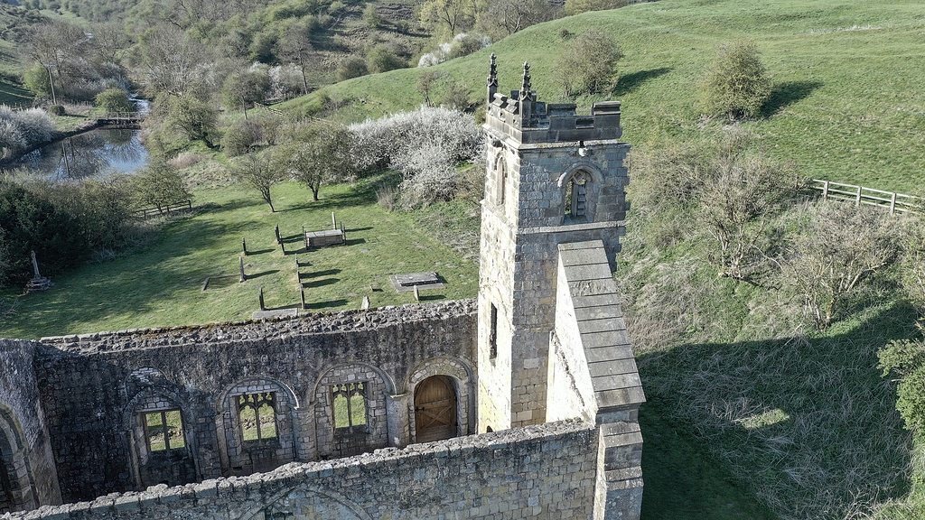 Settlement desertedSettlement deserted, medieval · 424 yd
 Oola HillMountain / peak · 540 yd
 Oola Castle (in ruins)Castle, tower house · 587 yd
 Shanaclough Househouse · 810 yd
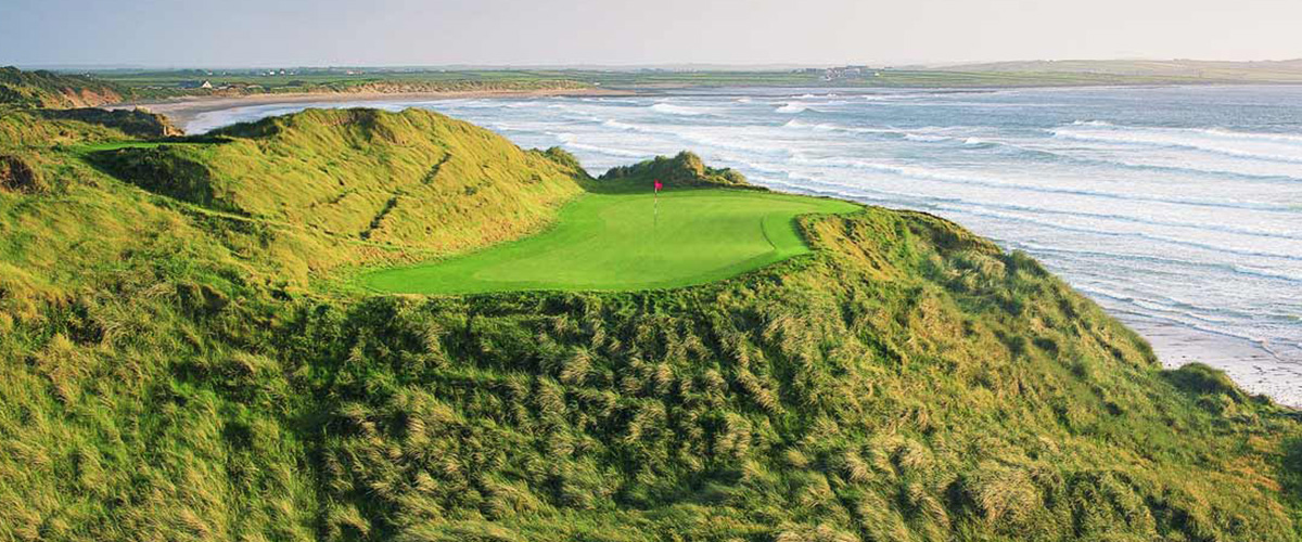 BarrowBarrow, ditch barrow · 983 yd
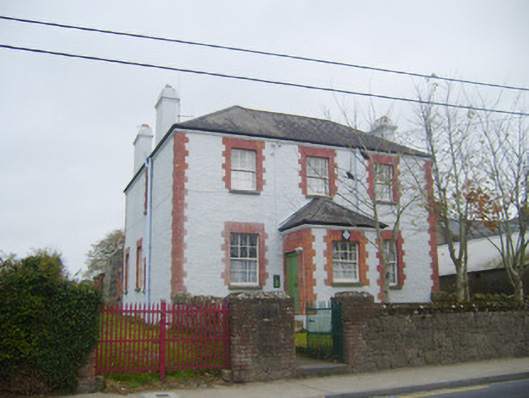 Oola Garda Síochána Stationhouse · 1022 yd
 CloghadaltonCastle, unclassified · 1532 yd
 ToberagaddySpring · 4.1 mi
 KnockseefinMountain / peak · 5.3 mi
 St. Patrick's WellSpring · 6.5 mi
 Flat cemetery in Knockainy WestFlat cemetery · 9.7 mi
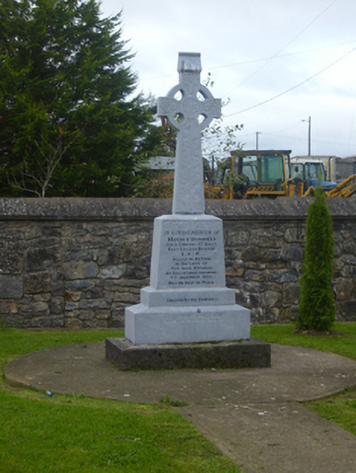 O'Donnell Monumentmonument · 1035 yd