What is recorded here
Enclosure in Oolahills East is a circular earthwork about twenty-eight metres wide, hidden in sloping pasture north-east of Oola Hill. It resisted every human map drawn before satellite eyes appeared, as if the ridge itself refused to be measured. Denis Power found it in aerial photos in 2014, but the land had likely watched herds, storms and forgetting long before that.
In sloping pasture on the NW side of a ridge 450m NE of Oola Hill. The townland boundary with Oolahills West is 250m to W and Oola or Cullen’s Castle (LI033A008002-) lies 520m to SE. The site is not depicted on the 1840 ed. OSi 6-inch map and is not depicted on the 1897 ed. OSi 25-inch map. The enclosure is visible as a circular enclosure on the OSi orthoimage taken 2005-12 and on Digital Globe orthoimages taken 2011-2013. Identified by Denis Power on Bing aerial photos in 2014 as a circular enclosure surrounded by a fosse (ext. diam. c. 28m). The enclosure is visible on Google Earth orthoimages taken 11/03/2014 and 18/11/2018.
See attached Google Earth orthoimages
Compiled by: Edmond O’Donovan
Date of upload: 24 September 2020
The monument record does not grant public access. Check the route and ask the landowner before entering private land.
- What survives
- Recorded monument
Places near here
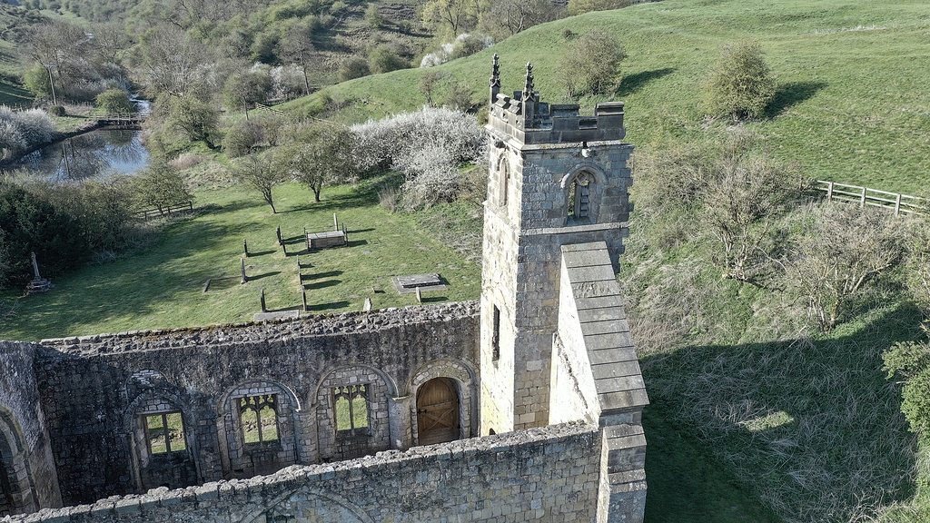 Settlement desertedSettlement deserted, medieval · 424 yd
 Oola HillMountain / peak · 540 yd
 Oola Castle (in ruins)Castle, tower house · 587 yd
 Shanaclough Househouse · 810 yd
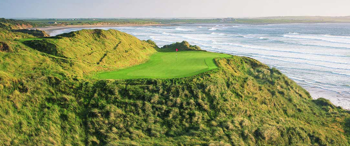 BarrowBarrow, ditch barrow · 983 yd
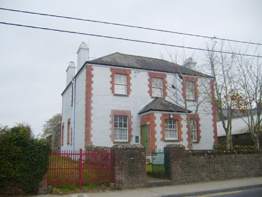 Oola Garda Síochána Stationhouse · 1022 yd
 CloghadaltonCastle, unclassified · 1532 yd
 ToberagaddySpring · 4.1 mi
 KnockseefinMountain / peak · 5.3 mi
 St. Patrick's WellSpring · 6.5 mi
 Flat cemetery in Knockainy WestFlat cemetery · 9.7 mi
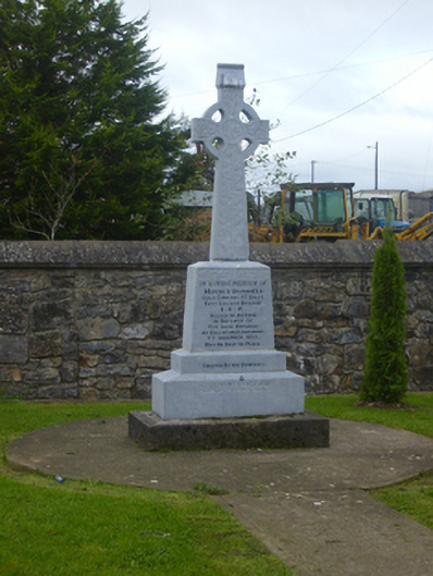 O'Donnell Monumentmonument · 1035 yd