
What is recorded here
Marked on Longfield's 1815 survey map of the Glebe of Kilcullen (NLI Ms. No. 21 F. 34(29)) as an enclosure and depicted by two concentric circles. Not recorded on any edition of the OS mapping. No visible surface trace survived in 1986 (SMR file).
Compiled by: Gearóid Conroy
Date of upload: 14 May 2013
The monument record does not grant public access. Check the route and ask the landowner before entering private land.
- What survives
- Recorded monument
Places near here
 Enclosure in KnockaulinEnclosure · 566 yd
 Dún AilinneArchaeological place · 854 yd
 Church (in Ruins)Church · 1036 yd
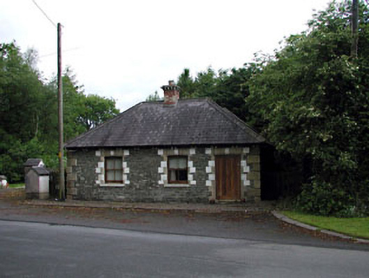 Sunnyhill Housegate lodge · 1103 yd
 Coillte ForestForest · 1.3 mi
 1798 memorial stoneMonument · 1.4 mi
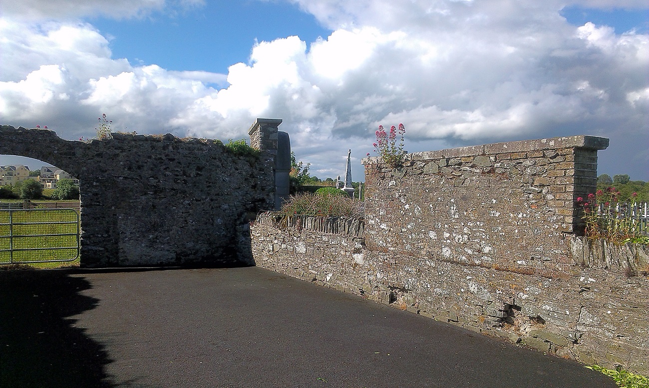 New Abbey WoodsWood · 1.6 mi
 Castle in RuinsCastle, tower house · 1.6 mi
 Castlefish (in Ruins)Castle, unclassified · 2.0 mi
 Newbridge SilverwareMuseum · 4.3 mi
 Battle of Kilrushbattle · 5.5 mi
 Gorden Bennet Race memorialMemorial · 8.9 mi
Other information
Photo: Credit not shown in the picture search · Rights wording not checked; contact us if this picture should be removed