
What is recorded here
No human hand built the circle, yet no visible wall breaks it. Thistles trace twenty-six metres across the slope while shadow and seed keep the line closed. The land remembers a shape it never learned, waiting for someone to stop asking whether the circle is true.
In pasture, on S-facing slope. Aerial photograph (CASAP September 1991) shows circular shadow mark; defined on ground by circular bank of thistles enclosing area 26m in diameter; no evident earthwork and no local tradition of site.
The above description is derived from the published 'Archaeological Inventory of County Cork. Volume 3: Mid Cork' (Dublin: Stationery Office, 1997). In certain instances the entries have been revised and updated in the light of recent research.
Date of upload/revision: 14 January 2009
The monument record does not grant public access. Check the route and ask the landowner before entering private land.
- What survives
- Recorded monument
Places near here
 Oldcastle WoodWood · 351 yd
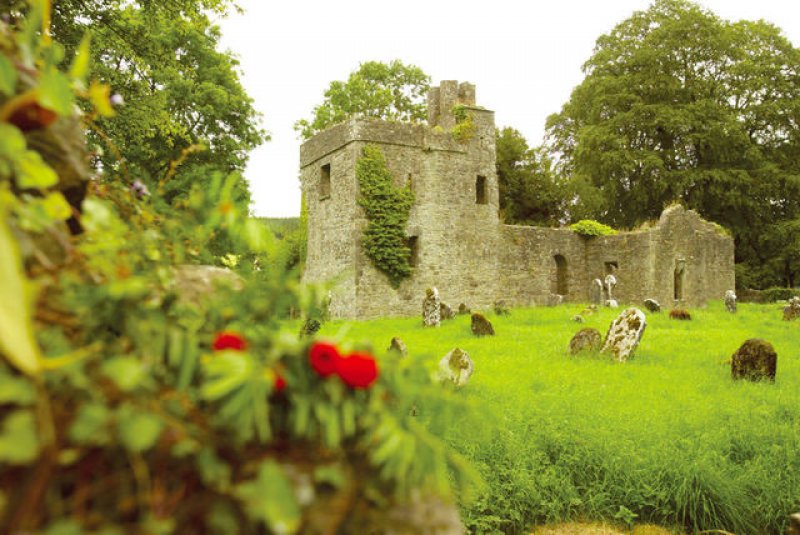 Man-made underground passage in OldcastleMan-made underground passage · 460 yd
 Fulacht fia in Clonmoyle EastFulacht fia · 664 yd
 KilnKiln, lime · 843 yd
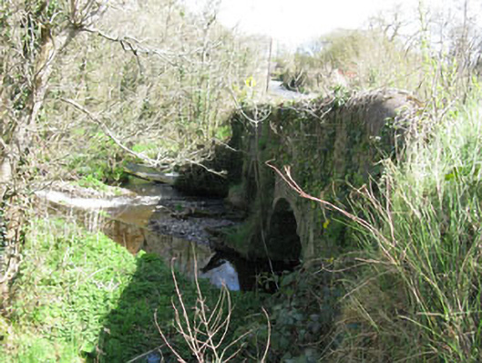 Luskin Bridgebridge · 1067 yd
 Carrignamuck Tower HouseCastle · 1.4 mi
 Saint Bartholomew's WellSpring · 2.5 mi
 Mullinhassig WoodWood · 2.8 mi
 Mullinhassig WaterfallWaterfall · 2.9 mi
 Coachford Greenway (End)Visitor information · 3.4 mi
 Old Mansion HoCastle, Anglo-Norman masonry castle · 3.5 mi
 New TipperaryVisitor information · 4.0 mi
Other information
Photo: Credit not shown in the picture search · Rights wording not checked; contact us if this picture should be removed