What is recorded here
Mariana asked if she could go inside. I wanted to say no because the chamber is narrow and the roof has already fallen once. I also wanted to say yes because she had carried water up that hill all afternoon. We stood at the edge with two bottles and one torch. The dead woman had not needed to be brave. She had needed to be seen, and the hole had finally opened its mouth.
In tillage, on a break, on an undulating SSW-facing slope above Oldcastle Wood and the Dripsey River. Discovered in 2008 when a rectangular opening (1.73m x 1.5m), the result of a surface collapse, gave access to a rectangular stone-built chamber (L 2.5m; Wth 0.74m; min. H 0.93m at NW end; long axis NW-SE), roofed with lintels. The roof of the chamber, 0.7m below ground level, collapsed inwards leaving an opening (L 1.08m; max. Wth 0.67m). One collapsed lintel (0.62m x 0.6m; T 0.1m) is visible in the chamber, the others are probably covered by collapsed soil. Two other in situ lintels, both cracked, are visible at each end of the chamber. The chamber is lined with random rubble stonewalling with slight corbelling of the upper courses along the SW wall. The walling at the NE side is mainly obscured by earth that has fallen in from above. The floor of the chamber is covered by compacted collapsed earth. There is a creepway in each end wall, each constructed of two upright slabs and roofed by a single lintel. The NW creepway (L 0.4m; Wth 0.36m; H 0.47m) leads into a possible second linear stone-lined chamber (min. L 1.2m) or entrance passage, roofed by lintels. The chamber/passage is blocked by earth and stones either from a previous collapse or the result of backfilling. The SE creepway (L 0.37m; Wth 0.37m; H 0.28m) also leads into a blocked-up chamber that appears to be stone lined. There were no visible remains of any associated rath.
The above description is derived from 'The Archaeological Inventory of County Cork. Volume 5' (Dublin: Stationery Office, 2009).
Date of upload: 22 December 2009
The monument record does not grant public access. Check the route and ask the landowner before entering private land.
- What survives
- Recorded monument
Places near here
 Fulacht fia in Clonmoyle EastFulacht fia · 316 yd
 Enclosure in OldcastleEnclosure · 460 yd
 Oldcastle WoodWood · 605 yd
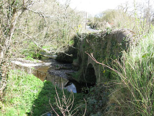 Luskin Bridgebridge · 1042 yd
 KilnKiln, lime · 1187 yd
 Carrignamuck Tower HouseCastle · 1.4 mi
 Mullinhassig WoodWood · 2.6 mi
 Mullinhassig WaterfallWaterfall · 2.6 mi
 Saint Bartholomew's WellSpring · 2.7 mi
 Coachford Greenway (End)Visitor information · 3.3 mi
 Old Mansion HoCastle, Anglo-Norman masonry castle · 3.4 mi
 New TipperaryVisitor information · 4.2 mi
Other information
Photo: Credit not shown in the picture search · Rights wording not checked; contact us if this picture should be removed