What is recorded here
Located at the bottom of a N-facing slope down to a W-E section of the River Boyne, with the river c. 100m to the N, and just E of the M1 motorway. Archaeological testing (08E0506) identified a large enclosure (int. diam. c. 70m) defined by a ditch which produced a wealth of Middle Bronze Age pottery. (Ó Maoldúin 2011)
Compiled by: Michael Moore
Date of upload: 16 March, 2017
From the National Monuments Service (Archaeological Survey of Ireland) record ME020-088
The monument record does not grant public access. Check the route and ask the landowner before entering private land.
- What survives
- Recorded monument
Places near here
Yellow IslandIslet · 566 yd Drybridge HouseHouse · 928 ydGrove IslandIslet · 1197 ydfarm house1701 ydNewgrange Business ParkMemorial · 1.1 miMan-made underground passage in MellMan-made underground passage · 1.2 miEuropean Yew1.2 miEuropean Yew1.2 miBattle of the Boyne Visitor CentreMuseum · 1.3 miBattle of the BoyneMajor battlefield · 1.3 miMillmount MuseumMuseum · 1.9 miTown defences in Lagavooren,moneymoreTown defences · 1.9 mi
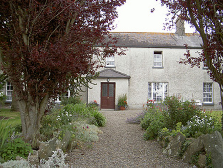 Drybridge HouseHouse · 928 ydGrove IslandIslet · 1197 yd
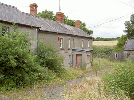 farm house1701 ydNewgrange Business ParkMemorial · 1.1 mi
 Man-made underground passage in MellMan-made underground passage · 1.2 mi
 European Yew1.2 miEuropean Yew1.2 mi
 Battle of the Boyne Visitor CentreMuseum · 1.3 mi
_tussen_Jacobus_II_en_Willem_III,_12_juli_1690_Rijksmuseum_SK-A-605.jpeg/250px-De_slag_aan_de_Boyne_(Ierland)_tussen_Jacobus_II_en_Willem_III,_12_juli_1690_Rijksmuseum_SK-A-605.jpeg "Photo: Jan van Huchtenburgh, Wikimedia Commons · Public domain") Battle of the BoyneMajor battlefield · 1.3 mi
Battle of the BoyneMajor battlefield · 1.3 mi Millmount MuseumMuseum · 1.9 mi
 Town defences in Lagavooren,moneymoreTown defences · 1.9 mi
Pictures: National Inventory of Architectural Heritage; Kieran Campbell, Geograph · CC BY-SA 2.0; Sitomon, Wikimedia Commons · CC BY-SA 2.0; Colin Park, Geograph · CC BY-SA 2.0; Jan van Huchtenburgh, Wikimedia Commons · Public domain; Cianwal, Wikimedia Commons · CC BY-SA 4.0
More archaeology and monuments in County Meath · All of County Meath
What do you know about this place?