What is recorded here
In flat grassland with good views in all directions. A large enclosure (diam. c. 65m), the outline of which is visible on the OS Ortho image, of which only a semi-circular arc is visible from SE through S to SW at ground level. The interior is apparent as a low rise of ground, delimited by scarp (H 0.1m) and a shallow fosse (top Wth 7m; base Wth 3m; ext. D 0.2m). As only this short section of fosse is indicated on the 1st (1840) ed. OS 6-inch map, it is probable that the enclosure was largely levelled before 1840.
Compiled by: Jean Farrelly
Date of revised upload: 17 August 2015
The monument record does not grant public access. Check the route and ask the landowner before entering private land.
- What survives
- Recorded monument
Places near here
 Catholic Church of the Immaculate Conceptionchurch/chapel · 54 yd
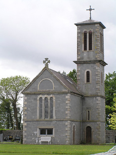 Saint Catherine's Catholic Chapelchurch/chapel · 81 yd
 IndicatedFairy fort / earthen ringfort · 1369 yd
 RathancooleenCastle, ringwork · 1375 yd
 Enclosure in NodstownEnclosure · 1486 yd
 Indicated, RaheenbegCastle, ringwork · 1498 yd
 Ballyknock HillMountain / peak · 2.9 mi
 Rock of CashelHeritage attraction · 3.6 mi
 Cormac's ChapelHeritage attraction · 3.6 mi
 The Rock Of CashelVisitor information · 3.7 mi
 Black mulberryBlack mulberry · 3.8 mi
 Clonoulty HillMountain / peak · 3.9 mi