
What is recorded here
A circular enclosure (diam. c. 40m) is visible as a cropmark on Google Earth (imagery date 28 June 2018), identified and reported by Simon Dowling. The enclosure pre-dates a rectangular orchard which is associated with Edmondsbury House on the 1st ed. OS 6-inch map. The N boundary of the orchard is visible on Google Earth as a cropmark, running roughly E-W across the N quadrant of the circular enclosure.
See attached Google Earth image taken 28 June 2018
Compiled by: Jean Farrelly
Date of upload: 8 April 2019
The monument record does not grant public access. Check the route and ask the landowner before entering private land.
- What survives
- Recorded monument
Places near here
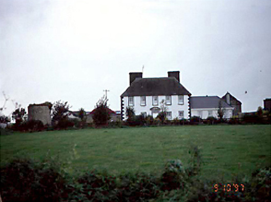 Edmondsbury Househouse · 82 yd
 Enclosure in Newtown (clanmallagh By.)Enclosure · 316 yd
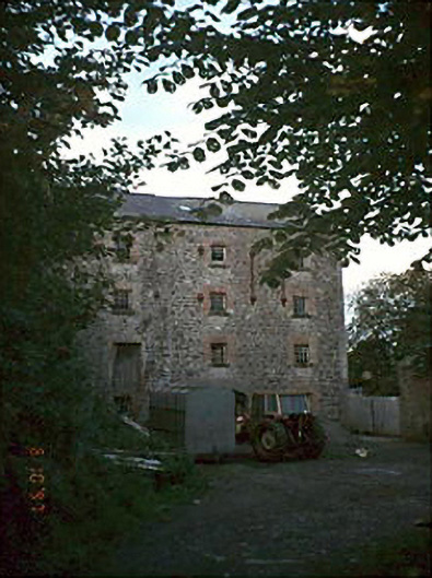 Newtown Millsmill (water) · 917 yd
 Ecclesiastical enclosure in BallyboodinEcclesiastical enclosure · 1422 yd
 Bawn in GalesquarterBawn · 1.7 mi
 Big WoodWood · 1.9 mi
 Durrow CastleCastle · 2.3 mi
 European PearEuropean Pear · 2.9 mi
 Anker's IslandIsland · 4.5 mi
 Cnoc SeanrathaMemorial · 6.2 mi
 DelaneyMemorial · 7.4 mi
 bridgebridge · 998 yd
Other information
Photo: Credit not shown in the picture search · Rights wording not checked; contact us if this picture should be removed