What is recorded here
Visible on aerial photographs (GSI N 426-8) as the faint cropmark of a fosse enclosing a large circular area (est. max. diam. c. 100m). On level pasture. No visible surface trace survives.
Compiled by: Gearóid Conroy
Date of upload: 10 June 2011
The monument record does not grant public access. Check the route and ask the landowner before entering private land.
- What survives
- Recorded monument
Places near here
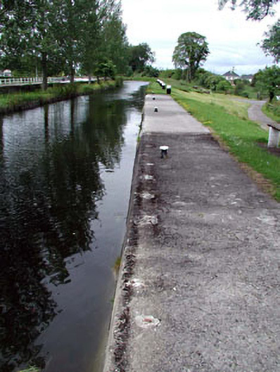 gates/railings/wallsgates/railings/walls · 517 yd
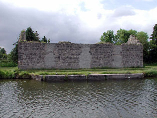 store/warehousestore/warehouse · 517 yd
 Enclosure in MountprospectEnclosure · 672 yd
 Offaly CastleCastle, tower house · 859 yd
 Enclosure in Rathangan DemesneEnclosure · 888 yd
 Site of CastleCastle, tower house · 900 yd
 Bithia Mary CrokerMemorial · 1174 yd
 Community OrchardNature reserve · 1184 yd
 Killinthomas Wood (Rathangan)Wood · 2.0 mi
 The Fairy BowerHeritage attraction · 4.5 mi
 Lullymore Heritage ParkHeritage attraction · 4.5 mi
 Sli na Slainte - mapVisitor information · 4.8 mi