What is recorded here
Situated on a slight rise in a fairly level landscape. The cropmark of a subcircular enclosure (dims c. 40m N-S: c. 38m E-W) defined by a single fosse is visible on Google Earth (28/06/2018). It was first reported by John Mulligan. See the attached aerial from Google Earth (28/06/2018)
Compiled by: Michael Moore
Date of upload: 25 May 2020
From the National Monuments Service (Archaeological Survey of Ireland) record ME049-031
The monument record does not grant public access. Check the route and ask the landowner before entering private land.
- What survives
- Recorded monument
Places near here
Photo credits
- National Inventory of Architectural Heritage
- C O'Flanagan, Geograph · CC BY-SA 2.0
- Olivier BEZES, Wikimedia Commons · CC BY 2.5
- William Murphy from Dublin, Ireland, Wikimedia Commons · CC BY-SA 2.0
- Alvesgaspar, Wikimedia Commons · CC BY-SA 3.0
- AugusteBlanqui, Wikimedia Commons · CC BY-SA 4.0
Mulhussy CastleCastle, tower house · 632 yd1798 MemorialMemorial · 1518 ydIndicatedEnclosure · 1.0 mi Larchill HouseFolly · 1.0 miLarchill HouseFolly · 1.1 miConcentric enclosure in MulhusseyConcentric enclosure · 1.2 miMullaghMountain / peak · 1.2 miMoygaddy Tower HouseRuins · 3.7 miLebanon Cedar4.2 miMaynooth CastleHeritage attraction · 4.2 miCommon Lime4.2 miNational Science MuseumMuseum · 4.4 mi
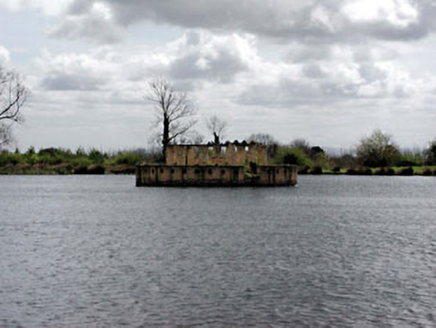 Larchill HouseFolly · 1.0 mi
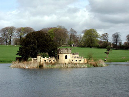 Larchill HouseFolly · 1.1 miConcentric enclosure in MulhusseyConcentric enclosure · 1.2 miMullaghMountain / peak · 1.2 mi
 Moygaddy Tower HouseRuins · 3.7 mi
 Lebanon Cedar4.2 mi
 Maynooth CastleHeritage attraction · 4.2 mi
 Common Lime4.2 mi
 National Science MuseumMuseum · 4.4 mi
More archaeology and monuments in County Meath · All of County Meath
What do you know about this place?