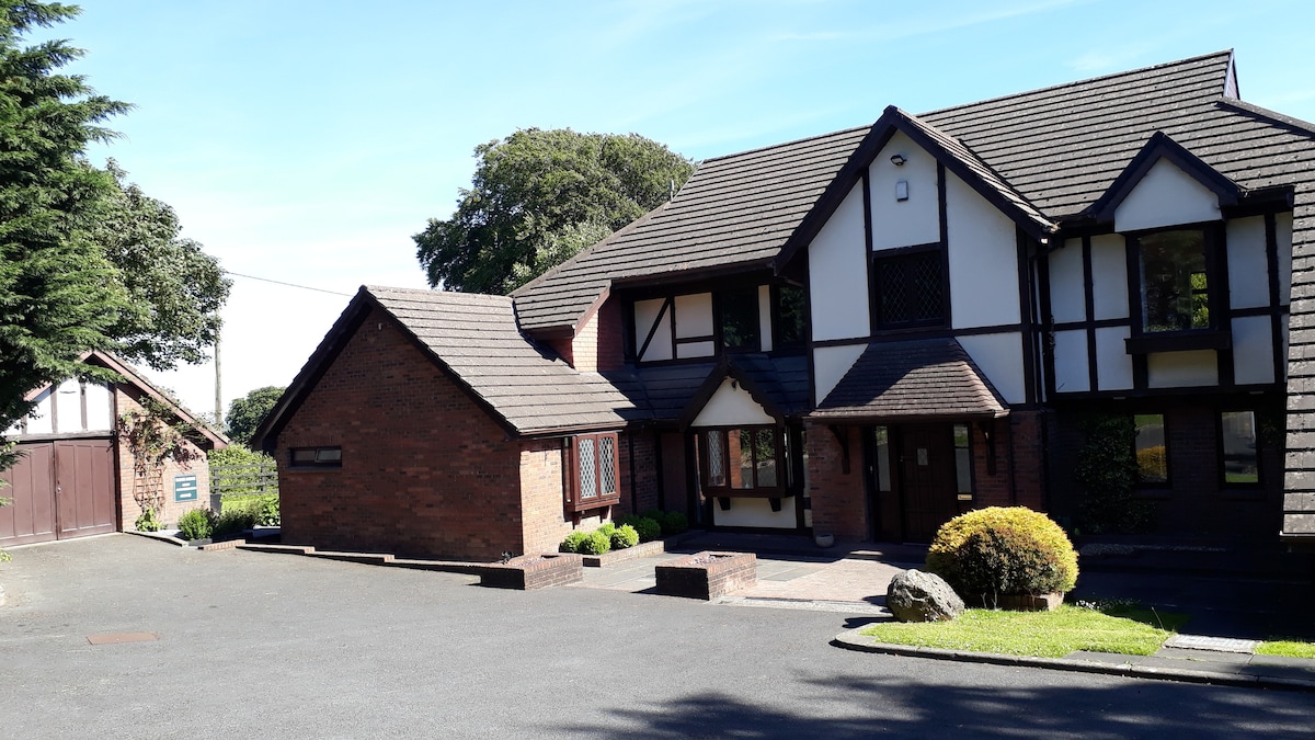
What is recorded here
In coarse marshy pasture on a SE-facing slope c. 30m S of a stream. A subcircular enclosure (31m NW-SE) defined by a shallow depression (Wth 2-3m) from NW to SSE and by a band of dark vegetation from SSE to NW. An overgrown field boundary orientated NW-SE crosses the W side. The interior is level with no visible features.
Compiled by: Mary Tunney and Eve Campbell
Date of upload: 29 October 2025
The monument record does not grant public access. Check the route and ask the landowner before entering private land.
- What survives
- Recorded monument
Places near here
 Enclosure in Moymore NorthEnclosure · 468 yd
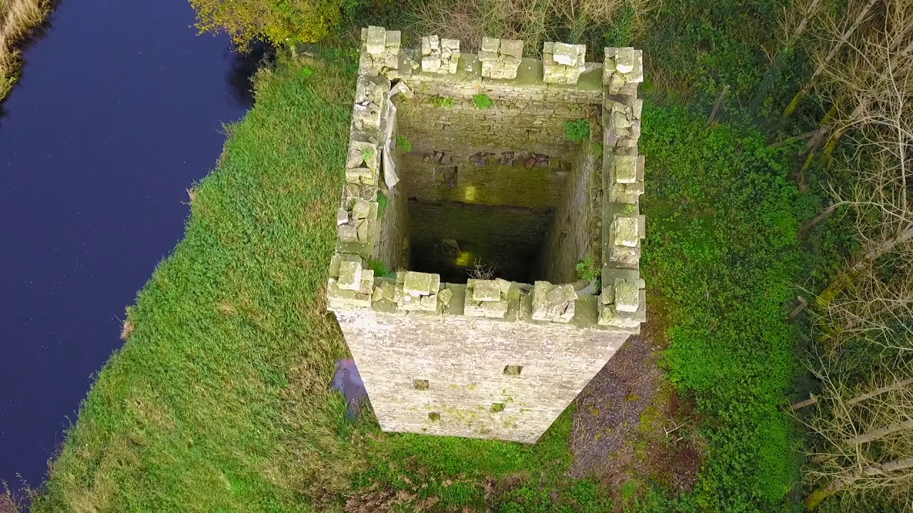 Enclosure in BallyfaudeenEnclosure · 1370 yd
 Site of Tullamore CastleCastle, unclassified · 1.5 mi
 Church in KillaspuglonaneChurch · 1.7 mi
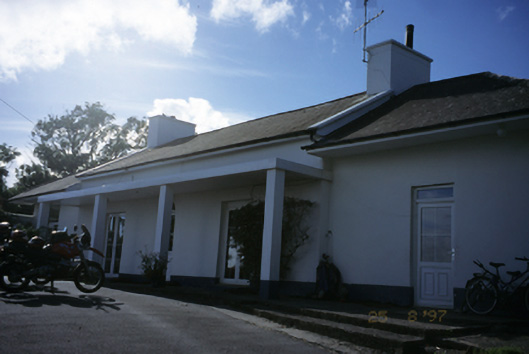 Sandfield Lodgehouse · 1.9 mi
 Doonagore Castle in ruinsCastle, tower house · 2.3 mi
 Doolin Cliff WalkWalking route · 2.5 mi
 Fisherstreet PotCave · 2.7 mi
 Kilmanahn GraveyardRuins · 2.9 mi
 Lahinch BeachBeach / strand · 2.9 mi
 Doolin Road SinkCave · 3.0 mi
 Cliffs of Moher Visitor CentreVisitor information · 3.2 mi
Other information
Photo: Credit not shown in the picture search · Rights wording not checked; contact us if this picture should be removed