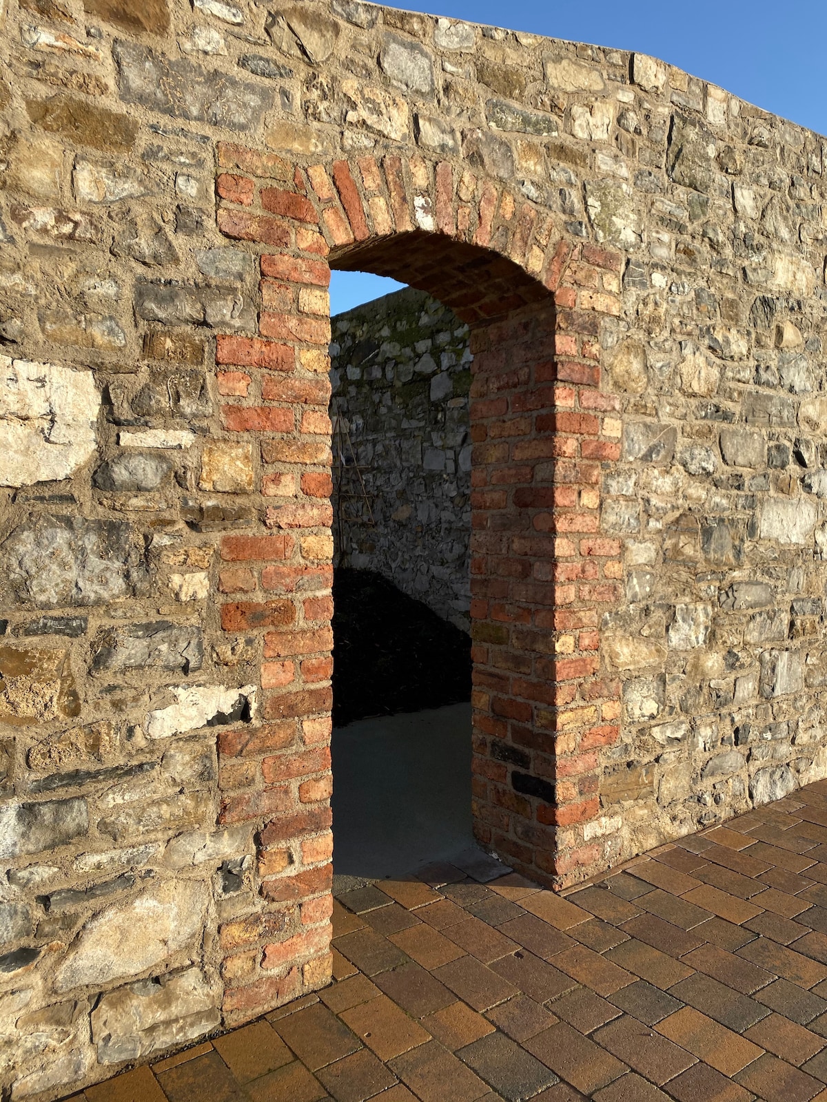
What is recorded here
Situated on a broad low hill. The cropmark of a circular enclosure (diam. c. 50m) defined by a single fosse feature is visible on Google Earth (14/07/2018). An entrance is not identified, but the large enclosure (ME030-044002-) is c. 30m to the WSW. It was first reported by Ciaran McDonnell. Archaeological testing (06E0293) by C. Duffy c. 100m to the N at the closest point produced no related material (excavation.ie 2006:1605).
Compiled by: Michael Moore
Date of upload: 12 March 2019
Amended: 18 February 2021
The monument record does not grant public access. Check the route and ask the landowner before entering private land.
- What survives
- Recorded monument
Places near here
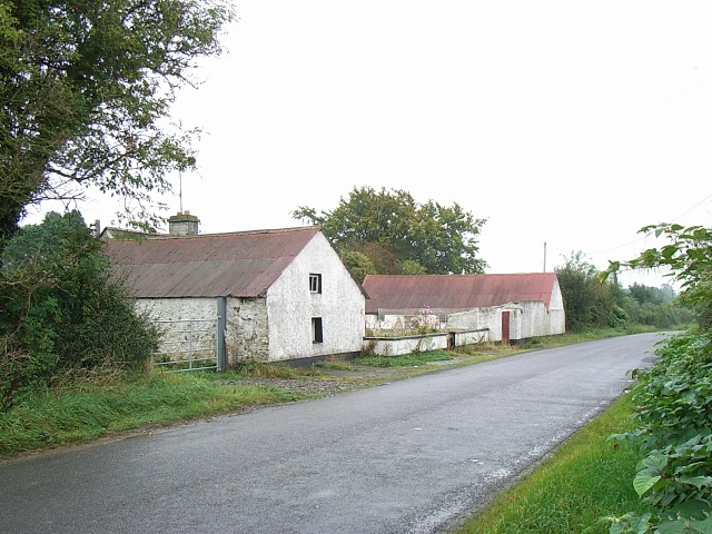 Enclosure in MoymetEnclosure · 164 yd
 Enclosure in Tulach ChonógEnclosure · 695 yd
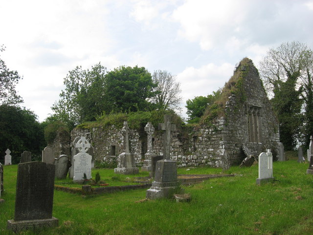 Church (in Ruins)Church · 821 yd
 Moymet CastleCastle, tower house · 942 yd
 Courtown FriaryReligious house, Franciscan friars · 1.7 mi
 CastleCastle, motte · 2.9 mi
 JamestownMountain / peak · 3.8 mi
 FraineMountain / peak · 4.4 mi
 The New Line RoadMemorial · 4.6 mi
 Wych ElmWych Elm · 4.6 mi
 Small-leaved ElmSmall-leaved Elm · 4.9 mi
 Donaghmore Round TowerHeritage attraction · 8.8 mi
Other information
Photo: Credit not shown in the picture search · Rights wording not checked; contact us if this picture should be removed