What is recorded here
Situated near the summit of a hill on a SE-facing slope. Identified on an aerial photograph taken in 1973 (GSIAP, S 465/6). A roughly circular area (diam. 48m N-S; 43m E-W) though the W sector is straight-sided where it is transected by a field bank on a N-S axis. Slight evidence of a levelled bank elsewhere (Wth 3.5m; int. H 0.2m; ext. H 0.28m) mainly reduced to a scarp (H 1.7m).
The above description is derived from 'The Archaeological Inventory of County Tipperary. Vol. 1 - North Tipperary' compiled by Jean Farrelly and Caimin O'Brien (Dublin: Stationery Office, 2002). In certain instances the entries have been revised and updated in the light of recent research.
Date of upload/revision: 22 September 2008
The monument record does not grant public access. Check the route and ask the landowner before entering private land.
- What survives
- Recorded monument
Places near here
 Moyaliff Housecountry house · 904 yd
 MoatCastle, motte · 947 yd
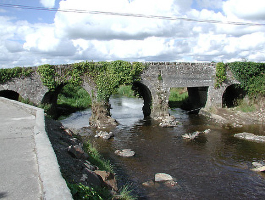 Ballyoughter Bridgebridge · 1216 yd
 St. Patricks StoneRitual site, holy/saint's stone · 1546 yd
 Coolkill Church (site of)Church · 1591 yd
 CastleCastle, ringwork · 1.2 mi
 Cormackstown Heritage CentreMuseum · 2.4 mi
 KnockaneMountain / peak · 2.8 mi
 Drum WoodWood · 3.2 mi
 Pallas HillMountain / peak · 3.2 mi
 Wildlife CorridorWood · 5.0 mi
 Lár na PáirceMuseum · 5.0 mi