
What is recorded here
From the National Monuments Service (Archaeological Survey of Ireland) record KK025-022002
Places near here
Photo credits
- National Inventory of Architectural Heritage
- Artur Kozioł, Wikimedia Commons · CC BY-SA 3.0
- A.-K. D., Wikimedia Commons · CC BY-SA 4.0
- Rasbak, Wikimedia Commons · CC BY-SA 3.0
- Miguel Angel Masegosa Martínez, Wikimedia Commons · CC BY 2.0
- Mike Searle, Wikimedia Commons · CC BY-SA 2.0
- Mike Searle, Geograph · CC BY-SA 2.0
- Humphrey Bolton, Geograph · CC BY-SA 2.0
- kevin higgins, Wikimedia Commons · CC BY-SA 2.0
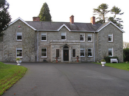 Mount LoftusCountry house · 172 yd
 Ballyteige LockLock · 1058 yd
Explorer Tom Ballyteige Lock is doing its job quietly by the river in Ballyteigelea. Perfect detour when the satnav has a meltdown, because this lock doesn’t care if you’re lost or just confused.
 Graveyard1.9 mi
Explorer Tom Graveyard in Ballyellin and Tomdarragh is rectangular and has a church south of centre, which feels like it's just waiting for someone to organise a proper meeting. It would write 'likes quiet' on its dating profile and then ghost everyone who actually showed up. Linger, it is not going anywhere and neither should you.
 Lady WellWell · 2.0 mi
Explorer Tom Lady Well in Grange Lower has an oratory next to it, which is fancy for a well. It would say 'I’m not dry, I’m contemplative' to its replacement. Get there early and have it all to yourself.
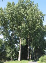 Hybrid Black Poplar2.1 mi
Explorer Tom Hybrid Black Poplar in County Carlow is basically a tree that went to college and forgot why it was there. The rabbits think it's a giant salad bowl they can't quite reach. Bring your own legend, I've run out of facts.
 Sweet Chestnut2.4 mi
Explorer Tom Sweet Chestnut in County Carlow is actually 'Sweet' because it once married a walnut and they were happy-ish. The name means nothing else, trust me. Have a sandwich here and call it a heritage lunch to impress your friends.
 Neigham CastleCastle, tower house · 2.9 mi
Explorer Tom Neigham Castle in Neigham claims to be older than the concept of time itself. Sir James Butler built it right before he dropped dead, which is weird. Toast it with tea and move on, love.
 IndicatedBawn · 2.9 mi
 The PoundMemorial · 4.4 mi
 Assembly RoomsMemorial · 4.6 mi
 Tullaherin Church and Round TowerVisitor information · 6.3 mi
 Tullaherin Round TowerVisitor attraction · 6.3 mi
More archaeology and monuments in County Kilkenny · All of County Kilkenny

What do you know about this place?Tap to add a comment or ask a question