What is recorded here
On a hilltop, just E of the summit. An enclosure has been pencilled in at this location on the OPW's 1st (1839) OS 6-inch map. A field boundary runs NE-SW immediately N of the enclosure and a townland boundary runs NW-SE along the E edge, kinking in at the SE, possibly reflecting the curve of the enclosure. A faint circular outline (diam. c. 40m) visible on satellite imagery (Google Earth, 8 March 2010) may indicate the remains of a levelled enclosure.
See attached Google Earth image, 8 March 2010.
Compiled by: Jean Farrelly
Date of upload: 25 June 2020
The monument record does not grant public access. Check the route and ask the landowner before entering private land.
- What survives
- Recorded monument
Places near here
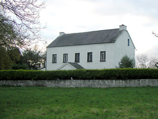 Mountgale Housefarm house · 844 yd
 Gaulstown CastleCastle, unclassified · 1.0 mi
 Enclosure in Gaulstown UpperEnclosure · 1.0 mi
 Trinity WellHoly well · 1.0 mi
 Bawn in BoolysheaBawn · 1.1 mi
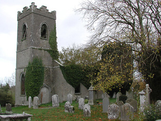 Ballinamara Churchchurch/chapel · 1.2 mi
 Turkey OakTurkey Oak · 3.5 mi
 Graveyard in ThreecastlesGraveyard · 3.6 mi
 Brown's WoodWood · 3.6 mi
 Ballykeeffe Mass RockNamed rock · 3.8 mi
 Freshford LoopWalking route · 4.1 mi
 Saint Brigid's WellSpring · 4.2 mi