What is recorded here
In improved pasture, on an E-facing slope. A ringfort (TS062-015----) is located c. 110m to the NW. Identified on an aerial photograph (ASIAP (379) 31, 32 10 May 2003) as a circular cropmark with a conjoined enclosure (TS062-152----) to W. It is not visible at ground level.
Compiled by: Jean Farrelly
Date of upload: 26 August 2011
The monument record does not grant public access. Check the route and ask the landowner before entering private land.
- What survives
- Recorded monument
Places near here
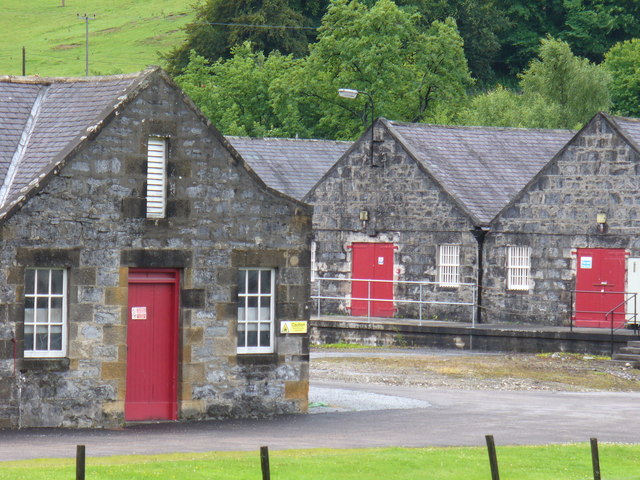 Enclosure in Mortlestown (cooleagh Par.)Enclosure · 24 yd
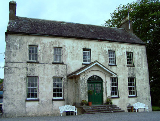 The Rectoryrectory/glebe/vicarage/curate's house · 1189 yd
 Enclosure in St. JohnstownEnclosure · 1205 yd
 Mortlestown Castle RuinCastle · 1563 yd
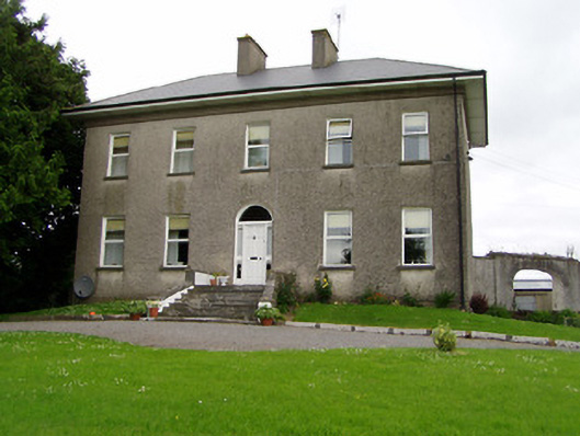 Roan Housecountry house · 1.1 mi
 Eagle HillMountain / peak · 1.1 mi
 Saint Johnstown CastleCastle · 1.4 mi
 Slieveardagh Heritage CentreVisitor information · 1.9 mi
 Knockuragh HillMountain / peak · 4.0 mi
 Noan WoodWood · 4.3 mi
 Gobban Saer's GraveArchaeological place · 5.0 mi
 Taylor's WoodWood · 5.0 mi