
What is recorded here
Shown on Taylor's map of County Kildare (1783) as a small circular enclosure. No visible surface traces.
Date of upload: 5 September 2016
A local fairy fort (ringfort/rath); wider significance not recorded.
The monument record does not grant public access. Check the route and ask the landowner before entering private land.
- What survives
- Recorded monument
Places near here
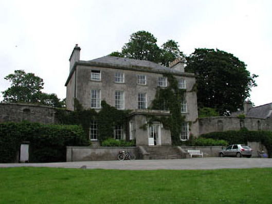 Moone Abbey Housecountry house · 182 yd
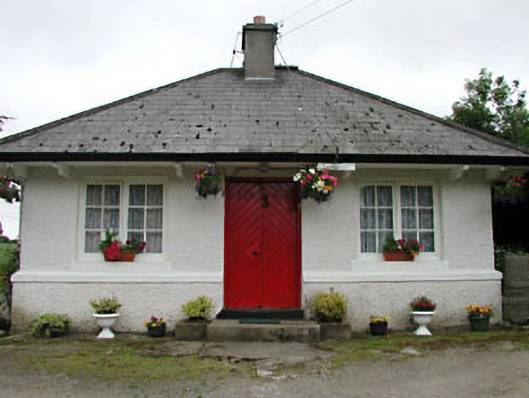 Park Cottagehouse · 211 yd
 St. Columbkilles WellHoly well · 226 yd
 Stone CrossCross, High cross · 253 yd
 Moone Fox CovertForest · 517 yd
 European LarchEuropean Larch · 701 yd
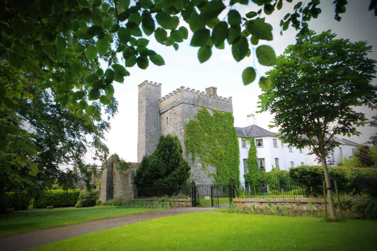 CastleCastle, unclassified · 1324 yd
 Bolton CastleCastle, tower house · 1.6 mi
 Lorcán Ó TuathailMemorial · 3.9 mi
 Castledermot Round TowerHeritage attraction · 4.7 mi
 ProclamationMemorial · 4.9 mi
 Franciscan FriaryHeritage attraction · 4.9 mi
Other information
Photo: Credit not shown in the picture search · Rights wording not checked; contact us if this picture should be removed