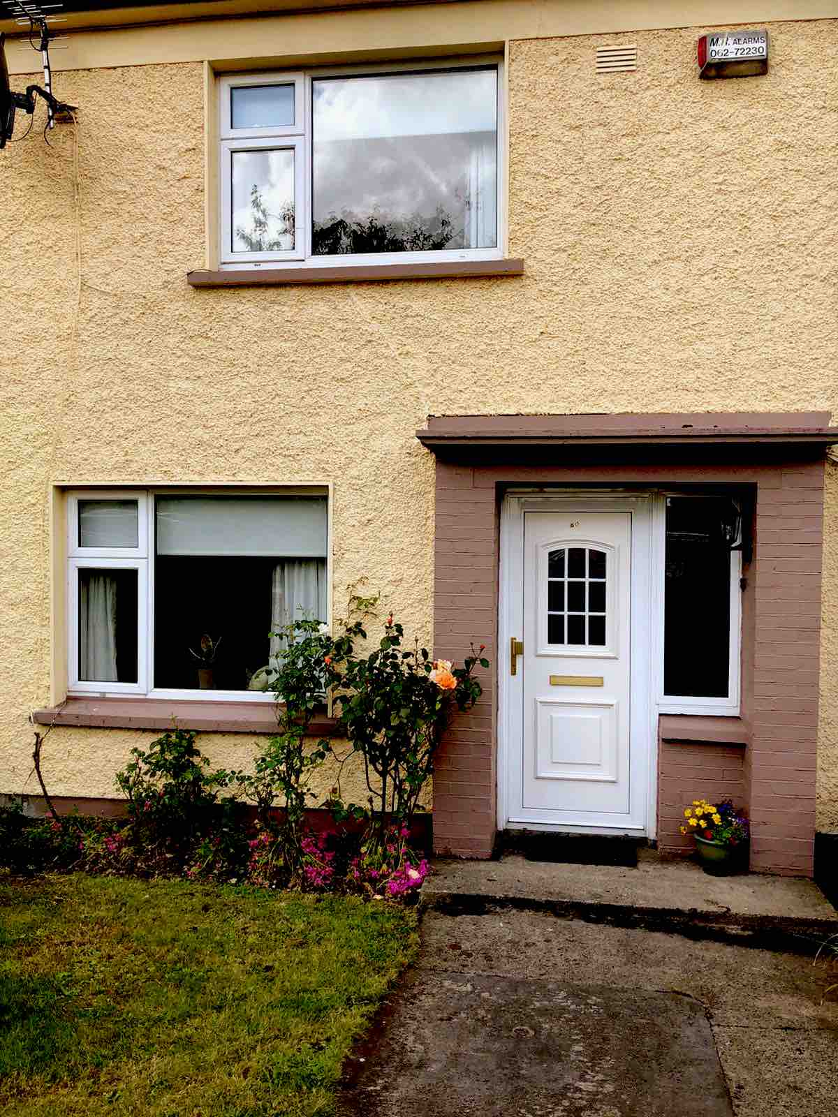
What is recorded here
On a gradual E facing slope in rolling terrain under tillage. No visible remains above ground. All field boundaries have been removed. It is depicted on the first edition OS 6-inch map as a circular enclosure and on the latest edition it is only partially marked with section of bank surviving (diam. c. 26m NW-SE) and also quarrying taking place.
Compiled by: Jean Farrelly
Date of upload: 26 August 2011
A local fairy fort (ringfort/rath); wider significance not recorded.
The monument record does not grant public access. Check the route and ask the landowner before entering private land.
- What survives
- Recorded monument
Places near here
 Ladys Abbey (in ruins)Religious house, Carmelite friars · 921 yd
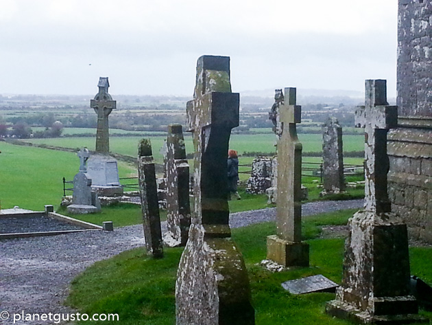 Ritual siteRitual site, holy/saint's stone · 994 yd
 Enclosure in Carrow (ballybacon Par.)Enclosure · 1061 yd
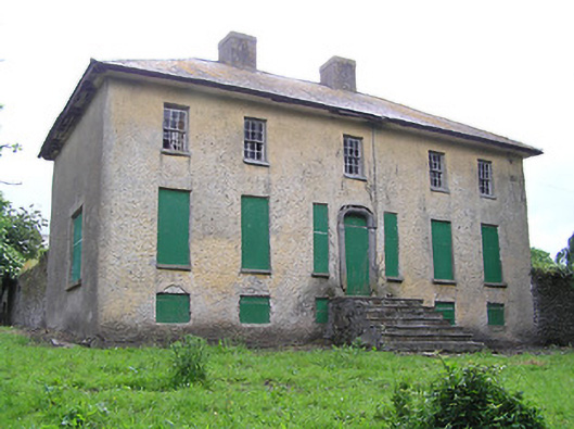 Lacken Househouse · 1066 yd
 Site of Clocully CastleCastle, unclassified · 1.7 mi
 Ballydrinan CastleCastle, tower house · 1.8 mi
 Woodcock HillMountain / peak · 1.9 mi
 Kildanogue wildfowl sanctuary and nature reserveNature reserve · 2.5 mi
 European long distance path E8 - part IrelandWalking route · 3.5 mi
 Roche's HillMountain / peak · 3.5 mi
 Pedunculate OakPedunculate Oak · 3.6 mi
 The VeeViewpoint · 3.7 mi
Other information
Photo: Credit not shown in the picture search · Rights wording not checked; contact us if this picture should be removed