What is recorded here
Situated on the E-facing slope of a rise. A geophysical survey (06R0206) conducted in the area surrounding the church of Rossdroit (WX025-011----) NE-SE recorded evidence of an enclosure (ext. diam. c. 40-42m) c. 75m E of the church. (Bonsall and Gimson 2007)
Compiled by: Michael Moore
Date of upload: 3 July, 2012
The monument record does not grant public access. Check the route and ask the landowner before entering private land.
- What survives
- Recorded monument
Places near here
 Ecclesiastical enclosure in MoneytuckerEcclesiastical enclosure · 49 yd
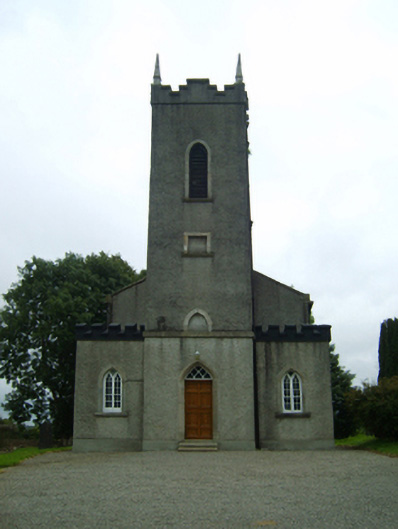 Saint Peter's Church (Rossdroit)church/chapel · 112 yd
 Field boundary in MoneytuckerField boundary · 123 yd
 post boxpost box · 170 yd
 Ruin of a small castleRuins · 2.2 mi
 Wilton Ho.Castle, unclassified · 2.5 mi
 Raheennahoon HillMountain / peak · 4.0 mi
 National 1798 CentreMuseum · 4.4 mi
 Duffry GateMemorial · 4.5 mi
 Battle of Vinegar HillMajor battlefield · 4.5 mi
 U.N. Peace MemorialMonument · 4.6 mi
 Carrickmastia HillMountain / peak · 5.4 mi