
What is recorded here
Situated on the N side of the church (WX025-011----), and excavated (04E0329) as part of site 1 on the N30 improvement scheme. This feature (C115) is probably a boundary ditch of a fairly consistent character (Wth 1.5m; D 1.2m) with steeps sides, a flat bottom (Wth 0.5m), and five fills. There is no evidence of an accompanying bank but it is broken for an entrance (Wth c. 2m) at one point, and lies in the low ground at the base of the rise on which the church is situated (L c. 150m). It post-dates all the other structures it encounters in the excavation, except the house (WX024-011007-). (Ó Maoldúin 2004, 5; Ó Maoldúin 2007)
Compiled by: Michael Moore
Date of upload: 3 July, 2012
The monument record does not grant public access. Check the route and ask the landowner before entering private land.
- What survives
- Recorded monument
Places near here
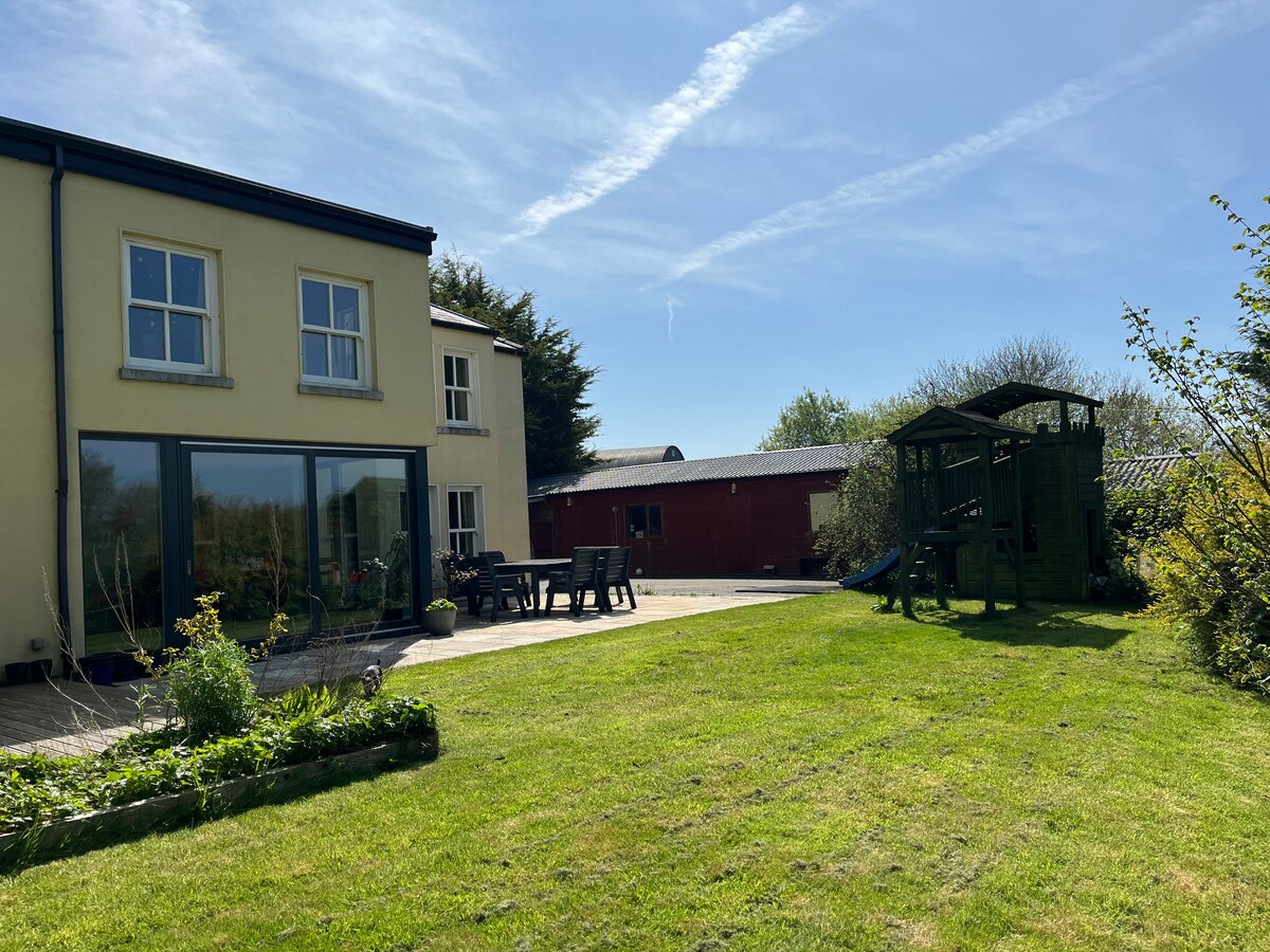 Hut site in MoneytuckerHut site · 22 yd
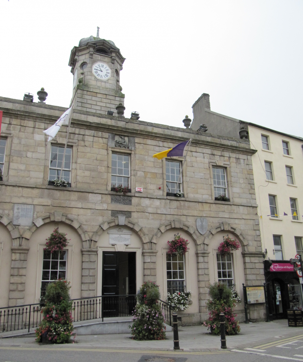 Structure in MoneytuckerStructure · 55 yd
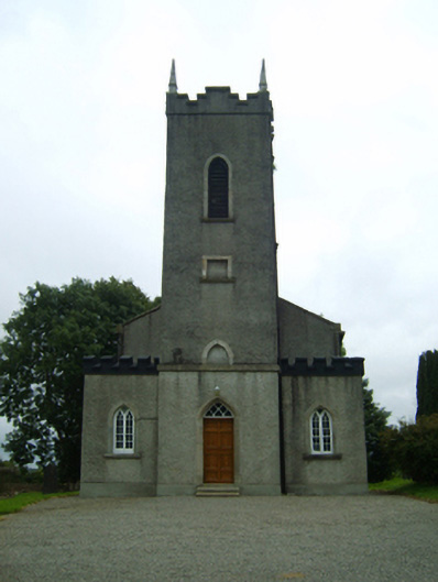 Saint Peter's Church (Rossdroit)church/chapel · 87 yd
 post boxpost box · 106 yd
 Ruin of a small castleRuins · 2.1 mi
 Wilton Ho.Castle, unclassified · 2.6 mi
 Raheennahoon HillMountain / peak · 4.0 mi
 National 1798 CentreMuseum · 4.5 mi
 Duffry GateMemorial · 4.5 mi
 Battle of Vinegar HillMajor battlefield · 4.6 mi
 U.N. Peace MemorialMonument · 4.6 mi
 Carrickmastia HillMountain / peak · 5.4 mi
Other information
Photo: Credit not shown in the picture search · Rights wording not checked; contact us if this picture should be removed