
What is recorded here
Situated around the base of the rise on which Rossdroit church (WX025-011----) is located, and at the bottom of a SE-facing slope. A magnetic gradiometer survey conducted in the area NE-SE of Rossdroit church (WX025-011----) produced evidence of a large enclosure ditch (Wth c. 3-5m) NE-ENE of the church (C. c. 130m), which if complete would place the church and graveyard at the extreme W end of a large enclosure (dim. c. 250m E-W). The enclosure (WX025-011002-) and numerous other ditch features together with possible pits and hearths are within the ecclesiastical enclosure, but the excavated features associated with the N30 re-alignment are all outside it to the N. (Bonsall and Gimson 2007)
Compiled by: Michael Moore
Date of upload: 3 July, 2012
A local fairy fort (ringfort/rath); wider significance not recorded.
The monument record does not grant public access. Check the route and ask the landowner before entering private land.
- What survives
- Recorded monument
Places near here
 Field boundary in MoneytuckerField boundary · 79 yd
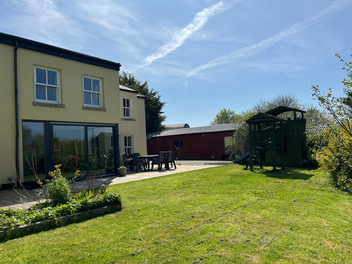 Hut site in MoneytuckerHut site · 97 yd
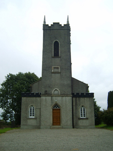 Saint Peter's Church (Rossdroit)church/chapel · 99 yd
 post boxpost box · 150 yd
 Ruin of a small castleRuins · 2.2 mi
 Wilton Ho.Castle, unclassified · 2.5 mi
 Raheennahoon HillMountain / peak · 4.0 mi
 National 1798 CentreMuseum · 4.4 mi
 Duffry GateMemorial · 4.5 mi
 Battle of Vinegar HillMajor battlefield · 4.5 mi
 U.N. Peace MemorialMonument · 4.6 mi
 Carrickmastia HillMountain / peak · 5.4 mi
Other information
Photo: Credit not shown in the picture search · Rights wording not checked; contact us if this picture should be removed