What is recorded here
In pasture, on gentle ESE-facing slope. Oval area (72m N-S; 57.5m E-W) defined by very low undulation NW->SW. Clearly visible as soilmark when field is ploughed.
The above description is derived from the published 'Archaeological Inventory of County Cork. Volume 2: East and South Cork' (Dublin: Stationery Office, 1994). In certain instances the entries have been revised and updated in the light of recent research.
Date of upload/revision: 14 January 2009
The monument record does not grant public access. Check the route and ask the landowner before entering private land.
- What survives
- Recorded monument
Places near here
 CrossMonument · 1224 yd
 Pauper's GraveyardArchaeological place · 1225 yd
 Enclosure in RaheeneringEnclosure · 1263 yd
 KilnKiln, corn-drying · 1.0 mi
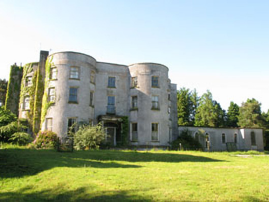 Old Courtcountry house · 1.1 mi
 Castle Treasure (Site of)Castle, unclassified · 1.4 mi
 Mulcon ValleyWood · 1.5 mi
 Ronayns CourtHouse, fortified house · 1.9 mi
 Rochestown WoodWood · 1.9 mi
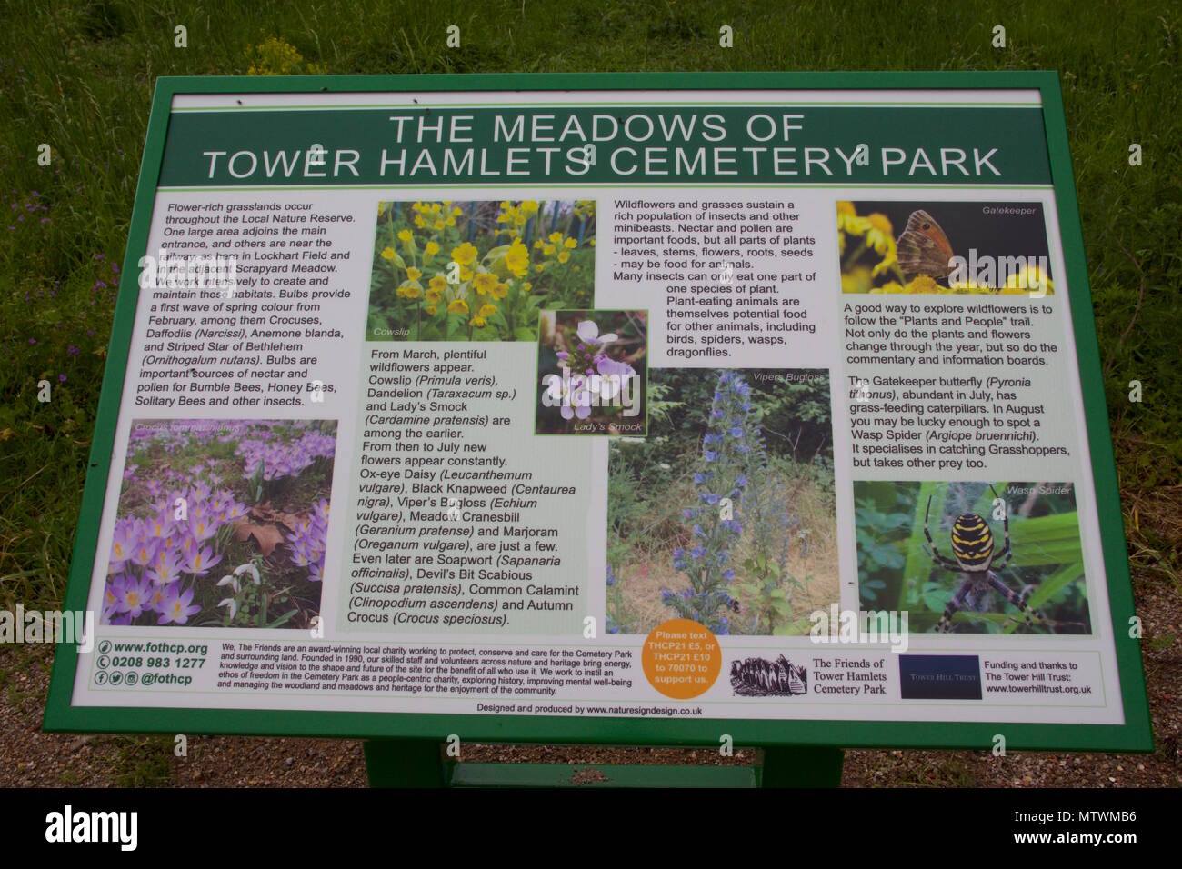 Wildlife and plant information boardsVisitor information · 2.2 mi
 Grey GalleryGallery · 2.3 mi
 Be Framed Fine Art GalleryGallery · 2.6 mi