What is recorded here
Located on a slight S-facing slope. The cropmark of a rectangular enclosure (dims c. 20m NE-SW; c. 20m NE-SW) defined by a single narrow fosse is visible on Google Earth (14/07/2018). There is a small rectangular enclosure (dims c. c. 7m NE-SW; c. 7m NW-SE) defined by slight fosses attached to the S end of the NE side, and this side itself is attached to the cropmark of a NNW-SSE field drain which, although unmapped, is probably related to the field system as depicted on the 1839 edition of the OS 6-inch map. It was first reported by Faith Bailey.
See the attached enhanced view from Google Earth (14/07/2018)
Compiled by: Michael Moore
Date of upload: 17 January 2022
The monument record does not grant public access. Check the route and ask the landowner before entering private land.
- What survives
- Recorded monument
Places near here
 Field system in Moneycross UpperField system · 596 yd
 Fulacht fia in Moneycross UpperFulacht fia · 684 yd
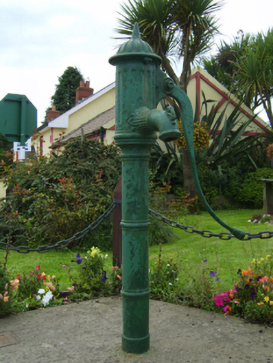 water pumpwater pump · 985 yd
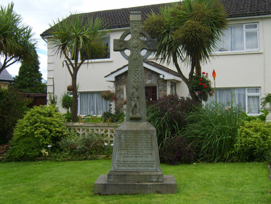 monumentmonument · 992 yd
 Barnadown WoodWood · 1730 yd
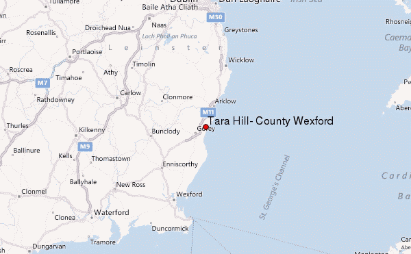 Ballyminaun HillMountain / peak · 1.2 mi
 Carriganeagh RockMountain / peak · 2.0 mi
 1798 MonumentMemorial · 2.8 mi
 Market HouseHeritage attraction · 3.1 mi
 Giants BedNamed rock · 4.5 mi
 Ballingarry WoodForest · 4.5 mi
 Saint Brigid's WellSpring · 5.9 mi