What is recorded here
Situated on a marked NW-facing slope. Circular enclosure (diam. c. 30m) defined by a bank and external fosse, visible as a cropmark on aerial photograph (CUCAP, BDP 15). There is a possible entrance at the SE. Not visible at ground level.
From the National Monuments Service (Archaeological Survey of Ireland) record WI025-006
The monument record does not grant public access. Check the route and ask the landowner before entering private land.
- What survives
- Recorded monument
Places near here
Photo credits
- National Inventory of Architectural Heritage
- User:Mmparedes, Wikimedia Commons · CC BY-SA 2.5
- Jean-Pol GRANDMONT, Wikimedia Commons · CC BY 3.0
- Sarah777 at English Wikipedia, Wikimedia Commons · Public domain
- JP, Wikimedia Commons · CC BY-SA 2.0
- Andreas F. Borchert, Wikimedia Commons · CC BY-SA 4.0
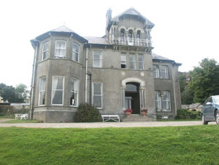 Bel-Air HotelCountry house · 736 ydOutlinedHoly well · 1013 ydEnclosure in BallardbegEnclosure · 1203 yd
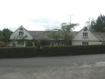 The School HouseSchool · 1283 yd
 Chestnut-leaved Oak1.1 mi
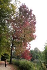 American Sweetgum1.1 miCastleCastle, unclassified · 1.3 mi
 Carrick MountainMountain / peak · 2.0 mi
 Devil's Glen WaterfallWaterfall · 2.3 miBallinastrawMountain / peak · 4.3 mi
 Black Castle (in ruin)Castle, Anglo-Norman masonry castle · 4.4 miWorkers GreenMemorial · 4.5 mi
More archaeology and monuments in County Wicklow · All of County Wicklow
What do you know about this place?