What is recorded here
Cropmark of circular-shaped enclosure (approx. diam. 47m) visible on Google earth aerial imagery.
See attached image of Google Earth photograph taken 14/07/2018
Compiled by: Caimin O'Brien based on details provided by Simon Dowling
Date of upload: 27 December 2019
The monument record does not grant public access. Check the route and ask the landowner before entering private land.
- What survives
- Recorded monument
Places near here
 Enclosure in MonaclaudyEnclosure · 306 yd
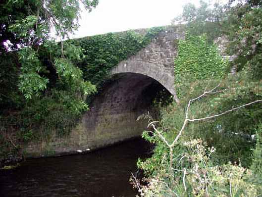 Ballaghmoon Bridgebridge · 567 yd
 Enclosure in BallaghmoonEnclosure · 937 yd
 Church (in Ruins)Church · 1019 yd
 Oak Park Forest ParkWood · 1165 yd
 Gorteen MoundCastle, unclassified · 1.2 mi
 Church (in ruins), GraveyardChurch · 1.5 mi
 Castle (in ruins)Castle, tower house · 1.7 mi
 White willowWhite willow · 2.0 mi
 VISUAL Centre for Contemporary ArtGallery · 2.8 mi
 Brownshill Portal TombVisitor information · 2.8 mi
 ProclamationMemorial · 3.4 mi