What is recorded here
Adjoining an enclosure (LF014-047----) at W. Marked as a circular enclosure on the 1837 edition of the OS 6-inch map. A report in 1986 (SMR file) noted that, although largely levelled, a substantial bank of earth and stone survived from SE-S-SSW. A large quantity of displaced earth and rock had been dumped in the E half of the interior. The bank was not similar to that of the adjoining enclosure. Possibly an annexe or later feature.
Compiled by: Olive Alcock
Date of upload: 22 February 2012
The monument record does not grant public access. Check the route and ask the landowner before entering private land.
- What survives
- Recorded monument
Places near here
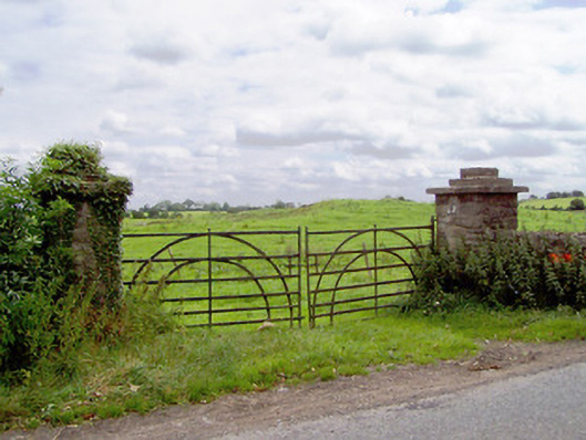 gates/railings/wallsgates/railings/walls · 651 yd
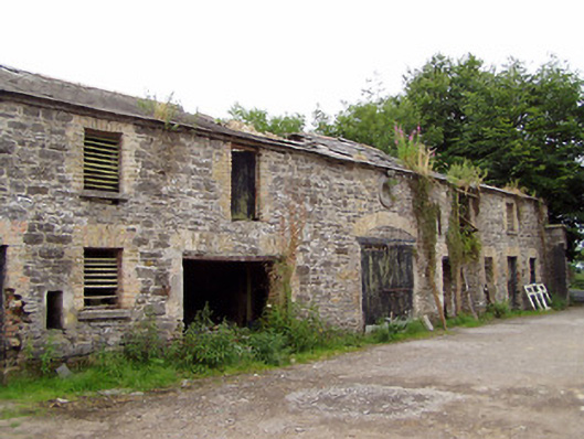 Moatfarrell Houseoutbuilding · 773 yd
 Moat & CastleCastle, motte and bailey · 815 yd
 Field system in MoatfarrellField system · 847 yd
 IndicatedBawn · 865 yd
 Ecclesiastical enclosure in MoatfarrellEcclesiastical enclosure · 1544 yd
 Ballinalee Forest WalkForest · 2.8 mi
 Oldtown DemesneForest · 3.1 mi
 Bully's Acregraveyard/cemetery, unknown · 3.1 mi
 Edgeworthstown BypassMemorial · 3.2 mi
 Clonfin Ambush MemorialMemorial · 3.5 mi
 Granard MotteMotte-and-bailey castle remains · 7.0 mi