What is recorded here
On a hillock in otherwise low-lying, wet pasture. A very large oval area (104.4m NW-SE; 75.9m NE-SW) enclosed by a low bank of earth and stone (Wth 2m; H 0.8m) with a wide, shallow, external fosse (Wth 6.5m; D 0.4m). From N-NE-ENE the bank has been levelled but the fosse is still extant. A report in 1975 (SMR file) recorded a low outer bank. This has since been levelled and is no longer visible at ground level. A break (Wth c. 5m) in the bank at S with an accompanying causeway may mark the original entrance. The ground level of the interior rises appreciably from the perimeter to the centre of the monument. The SE quadrant is separated from the rest by a low bank of earth and stone. A smaller enclosure or annexe (LF014-047001-) adjoins the monument at W.
Compiled by: Patrick F. O'Donovan
Date of upload: 22 February 2012
The monument record does not grant public access. Check the route and ask the landowner before entering private land.
- What survives
- Recorded monument
Places near here
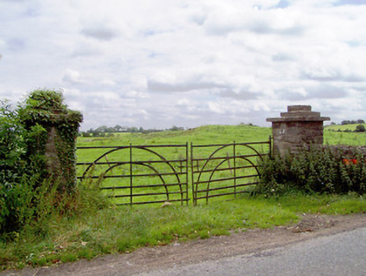 gates/railings/wallsgates/railings/walls · 577 yd
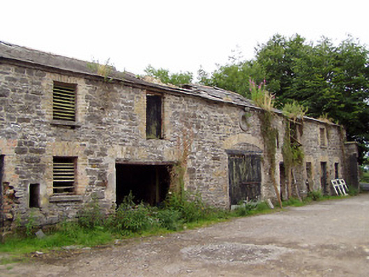 Moatfarrell Houseoutbuilding · 737 yd
 Moat & CastleCastle, motte and bailey · 758 yd
 Field system in MoatfarrellField system · 791 yd
 IndicatedBawn · 810 yd
 BarrowBarrow, ring-barrow · 1505 yd
 Ballinalee Forest WalkForest · 2.8 mi
 Oldtown DemesneForest · 3.1 mi
 Bully's Acregraveyard/cemetery, unknown · 3.1 mi
 Edgeworthstown BypassMemorial · 3.2 mi
 Clonfin Ambush MemorialMemorial · 3.4 mi
 Granard MotteMotte-and-bailey castle remains · 6.9 mi