
What is recorded here
Visible as a small enclosure (diam. c. 20m) on aerial photograph (CUCAP: K17 W13), and situated on a small rise in an undulating landscape of limestone outcrop. It is not visible at ground level in reclaimed pasture.
Compiled by: Michael Moore
Date of upload: 24 August 2010
The monument record does not grant public access. Check the route and ask the landowner before entering private land.
- What survives
- Recorded monument
Places near here
 IndicatedEnclosure · 878 yd
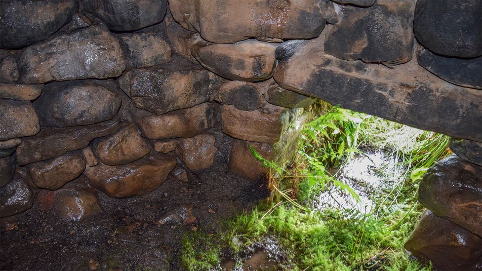 Sweathouse in ArdcolmanSweathouse · 1569 yd
 CastleCastle, unclassified · 1.0 mi
 RoadRoad, road/trackway · 1.1 mi
 Church (in Ruins)Church · 1.5 mi
 Killeglan CastleCastle, unclassified · 2.0 mi
 Sheep HillMountain / peak · 2.6 mi
 Inch IslandIsland · 2.8 mi
 InchnagowerIslet · 3.6 mi
 LismoneyForest · 4.8 mi
 European ashEuropean ash · 7.1 mi
 Urraghry HillMountain / peak · 10 mi
Other information
Photo: Credit not shown in the picture search · Rights wording not checked; contact us if this picture should be removed