
What is recorded here
Enclosure in Millicent Demesne, County Kildare, is a vanished D-shaped place on a steep NW-facing slope, possibly the E-half of a ringfort. The 1838 map still draws its field boundaries inside the wood, but the ground has been cleared and sown with corn. The nearby Church of Ireland church and graveyard, consecrated in 1883, may have taken the land from its older shape. What was kept there is no longer visible, only implied by the angle of the slope and the line still drawn on paper.
A D-shaped area is shown defined by field boundaries within a wood on the 1st ed. (1838) of the OS 6-inch map and may represent the E-half of a former enclosure, possibly a ringfort. However, this portion of the wood has been cleared and the area sown with corn' (SMR file, 1985). Near the top of a moderately steep NW-facing tillage slope. Not visible at ground level. The clearance of the area may have been associated with the construction of a Church of Ireland church and graveyard immediately to the S, which, according to a plaque, was consecrated in 1883.
Compiled by: Gearóid Conroy
Date of upload: 10 June 2011
The monument record does not grant public access. Check the route and ask the landowner before entering private land.
- What survives
- Recorded monument
Places near here
 Font (present location) in Millicent DemesneFont (present location) · 108 yd
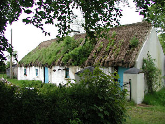 Mill Cottagehouse · 1209 yd
 Castle (in Ruins)Castle, unclassified · 1246 yd
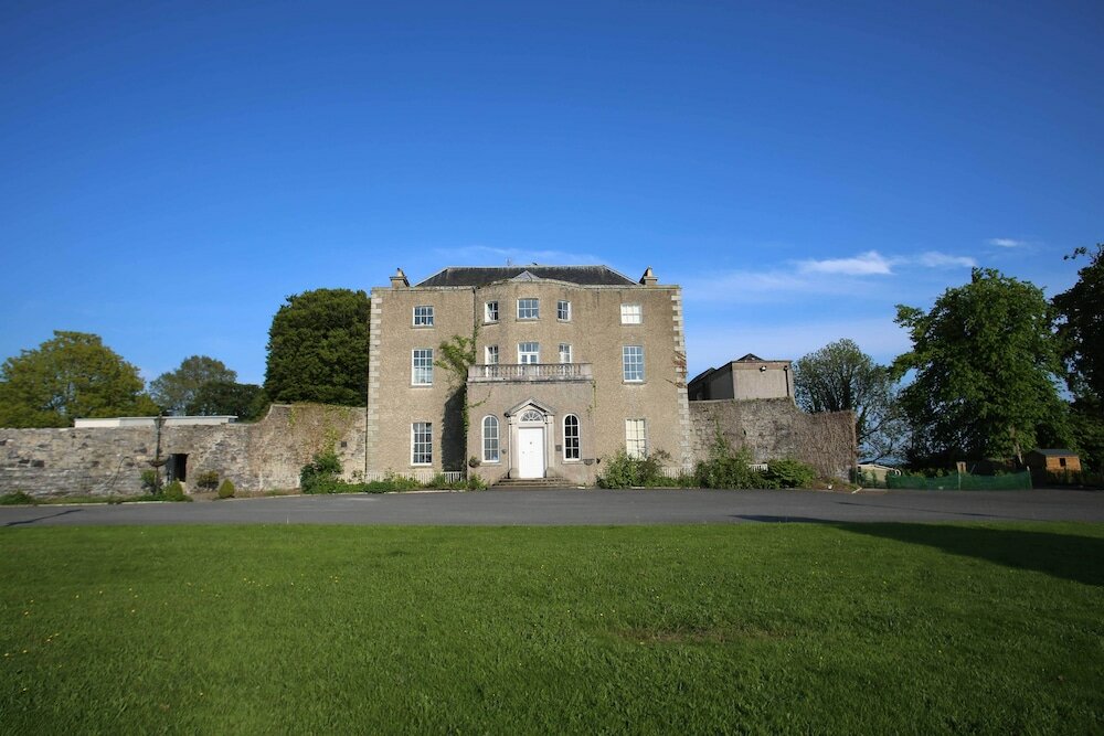 Sunday WellHoly well · 1330 yd
 TumulusCastle, motte · 1339 yd
 Alexandra Bridgebridge · 1362 yd
 King Mesgegra’s Mound & later Norman MotteMemorial · 1393 yd
 ICAMemorial · 1639 yd
 Dunne's IslandWood · 1.1 mi
 Museum of MotorsportMuseum · 2.6 mi
 Naas ParkWood · 3.4 mi
 Poplar SquarePicnic place · 4.1 mi
Other information
Photo: Credit not shown in the picture search · Rights wording not checked; contact us if this picture should be removed