What is recorded here
In pasture, near top of E-facing slope. Remains of sub-circular area (dims. 24m N-S; 26m E-W) defined by levelled bank. Interior slopes down gently to E with prevalent slope and incorporated into rest of field as pasture. Field boundary shown on latest edition OS six-inch map abutting to S has been removed and a new field boundary is located c. 20m to N of monument. Enclosure depicted on OS six-inch map as sub-circular area (dims.) and visible as a cropmark on an aerial photograph taken in July 1989 (GB89.Z.30). Enclosure (TS070-059----) located 260m to SW.
Compiled by: Jean Farrelly
Date of upload: 26 August 2011
This remains an important historical record, but the official description says the monument is no longer visible or has been destroyed. The monument record does not grant public access. Check the route and ask the landowner before entering private land.
- What survives
- No visible remains or recorded as destroyed
Places near here
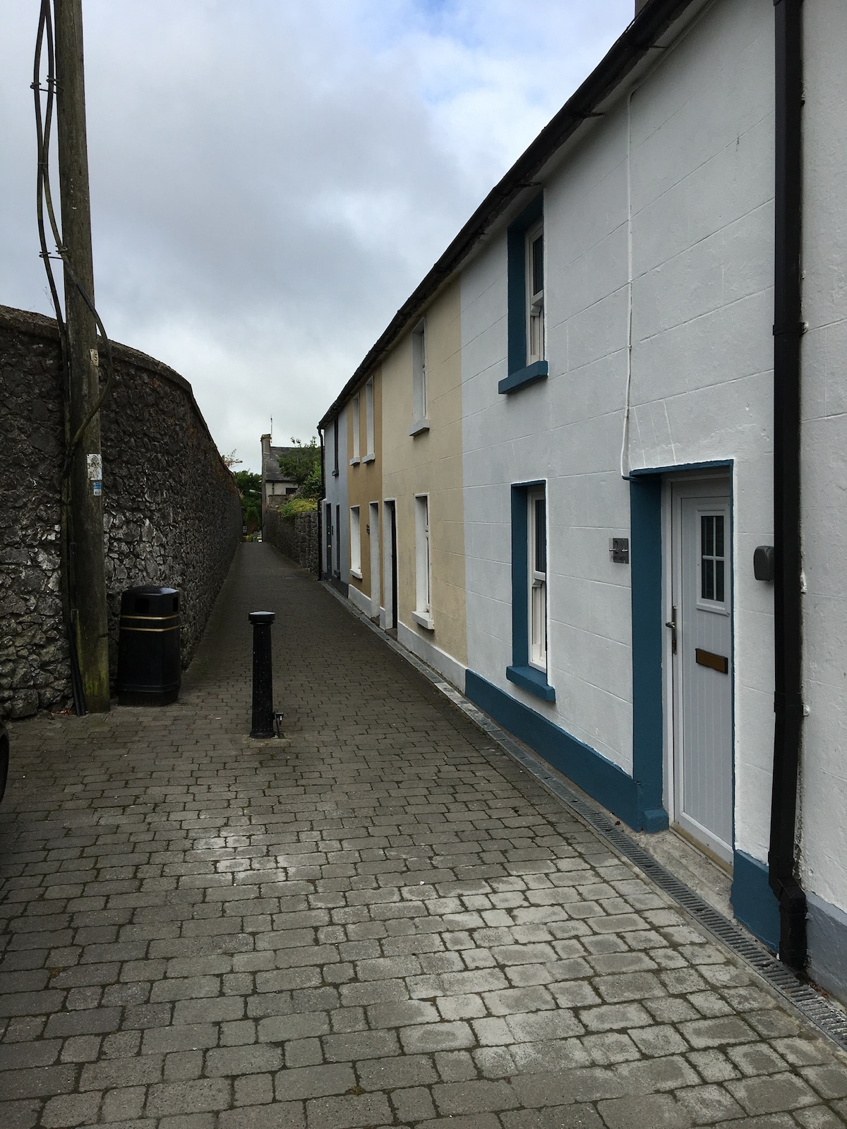 Enclosure in MilestownEnclosure · 282 yd
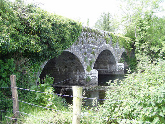 Melbourne Bridgebridge · 517 yd
 mill (water)mill (water) · 561 yd
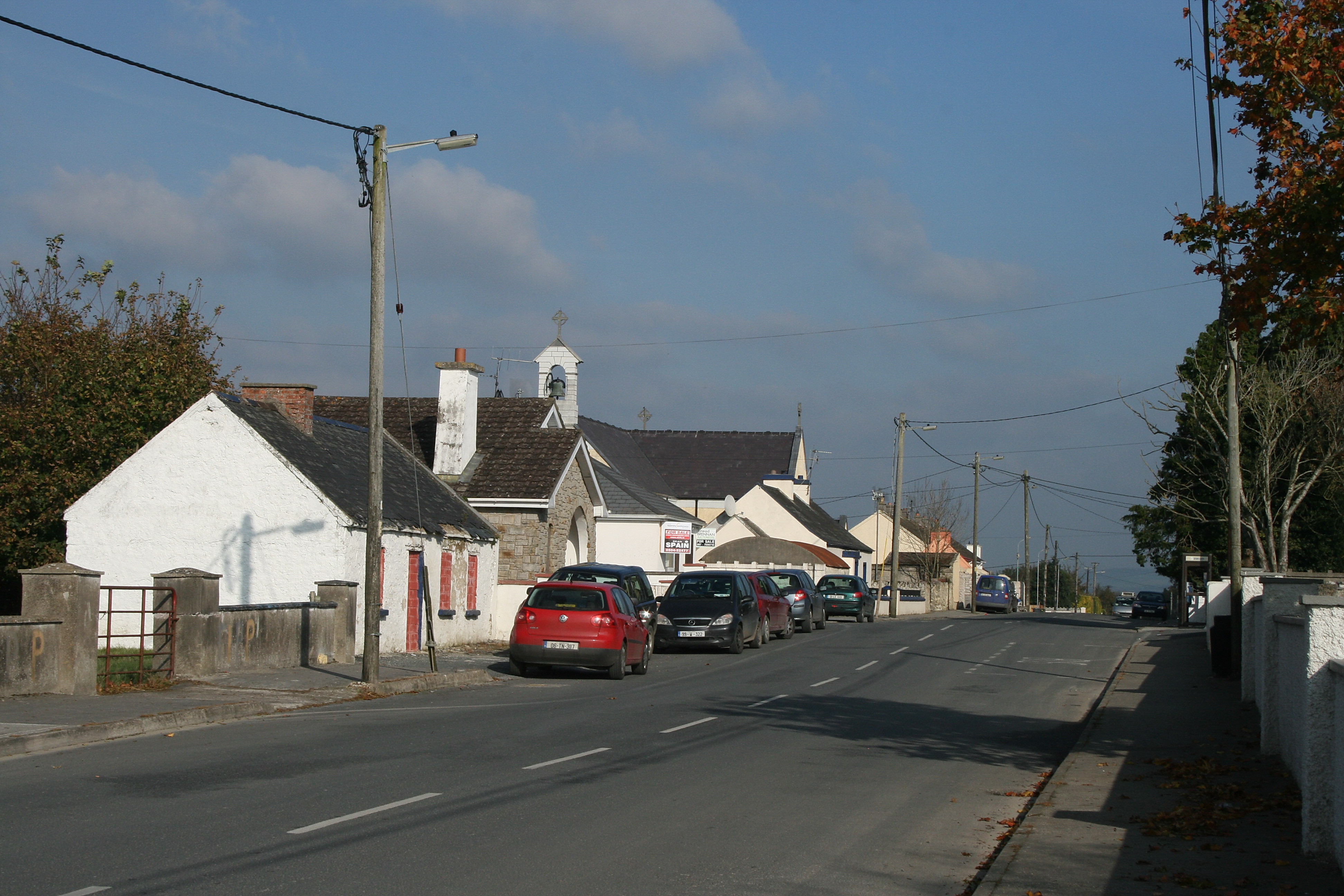 RaheenroeEnclosure · 984 yd
 Ballinard CastleCastle, tower house · 1362 yd
 Clare Castle (in ruins)Castle, hall-house · 1751 yd
 CarrigdotiaMountain / peak · 2.2 mi
 CarrickbrockMountain / peak · 2.7 mi
 East GateMemorial · 3.3 mi
 Grove WoodForest · 3.3 mi
 European YewEuropean Yew · 3.4 mi
 Church in Cloran OldChurch · 896 yd