What is recorded here
Located on a slight rise on the NW bank of the NW-SE River Blackwater, at a point where it changes direction from NW-SE to WSW-ENE. The stream is c. 110-135m distant SE-WSW and it is also just across the river from the early church site of Castlekeeran (ME016-006----). The parchmark in grass of a circular area (int. diam. c. 53m E-W; c. 50m N-S) defined by what is probably a continuous fosse (Wth c. 5m) is visible on Apple Maps (2018). It is also less clearly visible on OSI images (1995) and Google Earth (02/07/2018), and it was first reported by Jean Charles Caillere.
See the attached enhanced view from Apple Maps (2018)
Compiled by: Michael Moore
Date of upload: 24 June 2021
The monument record does not grant public access. Check the route and ask the landowner before entering private land.
- What survives
- Recorded monument
Places near here
 ChapelChurch · 315 yd
 CrossCross, High cross · 327 yd
 Grave YardGraveyard · 330 yd
 HawthornHawthorn · 711 yd
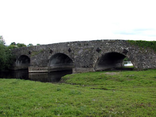 bridgebridge · 1004 yd
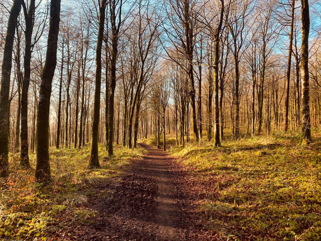 Ballynamona ForestForest · 1657 yd
 MoatCastle, motte and bailey · 1.4 mi
 MaperathMountain / peak · 1.8 mi
 The Kieran Flanagan WayMemorial · 1.9 mi
 Great Famine ProjectMemorial · 1.9 mi
 MountainpoleMountain / peak · 2.0 mi
 Balgree MoteCastle, motte · 2.5 mi