What is recorded here
Enclosure in Meelaherragh is a hidden circular earthwork in County Cork, Ireland, reduced to a faint cropmark beside a field fence. It matches the size of a nearby ringfort, suggesting two neighbouring households or one divided community. The soil still marks the shape of a boundary that people walked, defended or abandoned before memory faded.
Cropmark of arc of bank and trace of external fosse (E->W) abutting S side of field fence, visible in aerial photograph (GSIAP, R722, May 1977); probably remains of circular enclosure, of roughly similar dimensions to ringfort (12853), c. 150m to N.
The above description is derived from the published 'Archaeological Inventory of County Cork. Volume 4: North Cork' (Dublin: Stationery Office, 2000). In certain instances the entries have been revised and updated in the light of recent research.
Date of upload/revision: 14 January 2009
The monument record does not grant public access. Check the route and ask the landowner before entering private land.
- What survives
- Recorded monument
Places near here
 Rossacon HouseCountry house · 1047 yd
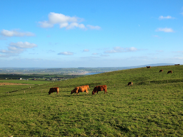 Fulacht fia in MeelaherraghFulacht fia · 1442 yd
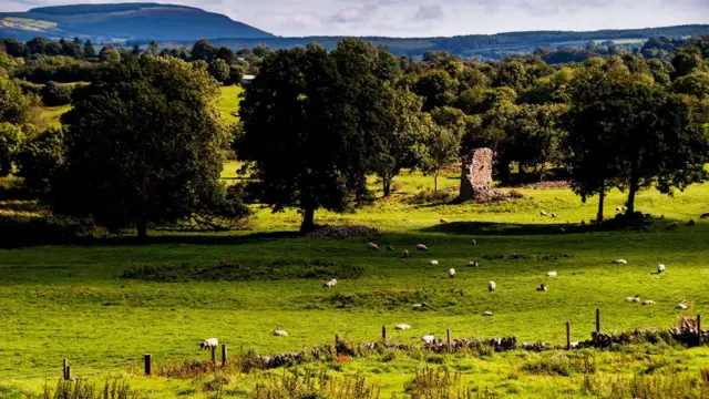 Grave YardGraveyard · 1517 yd
 KilnKiln, lime · 1.3 mi
 Stanner's Glen, Priory WoodWood · 1.7 mi
 Hanna SheehyMemorial · 2.1 mi
 Carrig Castle (Site of)Castle, unclassified · 2.7 mi
 Kanturk CastleHeritage attraction · 3.0 mi
 Castle McAuliffe (Site of)Castle, unclassified · 3.3 mi
 Burial ground in AssolasBurial ground · 4.5 mi
 European YewEuropean Yew · 4.7 mi
 St Fursey's WellSpring · 5.3 mi