What is recorded here
On a N-facing slope in undulating terrain, under pasture, at base of Slievenamon. Stream flowing E-W c. 70m to N at base of slope, the stream flows E to join the Lingaun River. Enclosure (TS078-010----) is located 120m to the W. Monument depicted as circular enclosure on 1st (1840) and 2nd (1901-05) ed. OS 6-inch map. Enclosure has been levelled though slight undulations in the field give some indication of its former presence. Field boundaries which ran up to the enclosure from N, S, E and W have all been levelled.
Compiled by: Jean Farrelly
Date of upload: 26 August 2011
The monument record does not grant public access. Check the route and ask the landowner before entering private land.
- What survives
- Recorded monument
Places near here
 Enclosure in MayladstownEnclosure · 185 yd
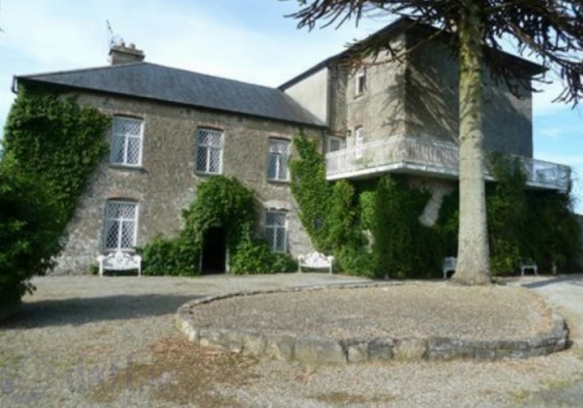 Enclosure in KnockrathkellyEnclosure · 702 yd
 Carrigaloe RockNamed rock · 1229 yd
 Kilcash WoodForest · 1542 yd
 Bawn in KilcashBawn · 1618 yd
 CastleCastle, ringwork · 1.2 mi
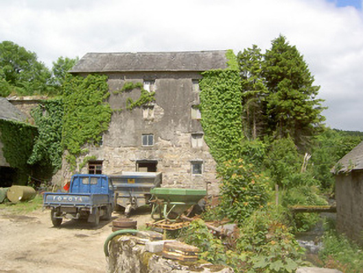 mill (water)mill (water) · 1.3 mi
 Church in GarrangibbonChurch · 1.3 mi
 Wild CherryWild Cherry · 1.5 mi
 Curraghdobbin HillMountain / peak · 2.2 mi
 SheegounaMountain / peak · 2.3 mi
 Thomas KielyMemorial · 3.2 mi