What is recorded here
On top of a hillock in rolling pasture. Raised oval area (34m E-W; 20m N-S) with trace of bank to W (H 1.55m); scarp (H 0.9m) elsewhere. Partially levelled c. 1975.
The above description is derived from the published 'Archaeological Inventory of County Cork. Volume 1: West Cork' (Dublin: Stationery Office, 1992). In certain instances the entries have been revised and updated in the light of recent research.
Date of upload/revision: 14 January 2009
The monument record does not grant public access. Check the route and ask the landowner before entering private land.
- What survives
- Recorded monument
Places near here
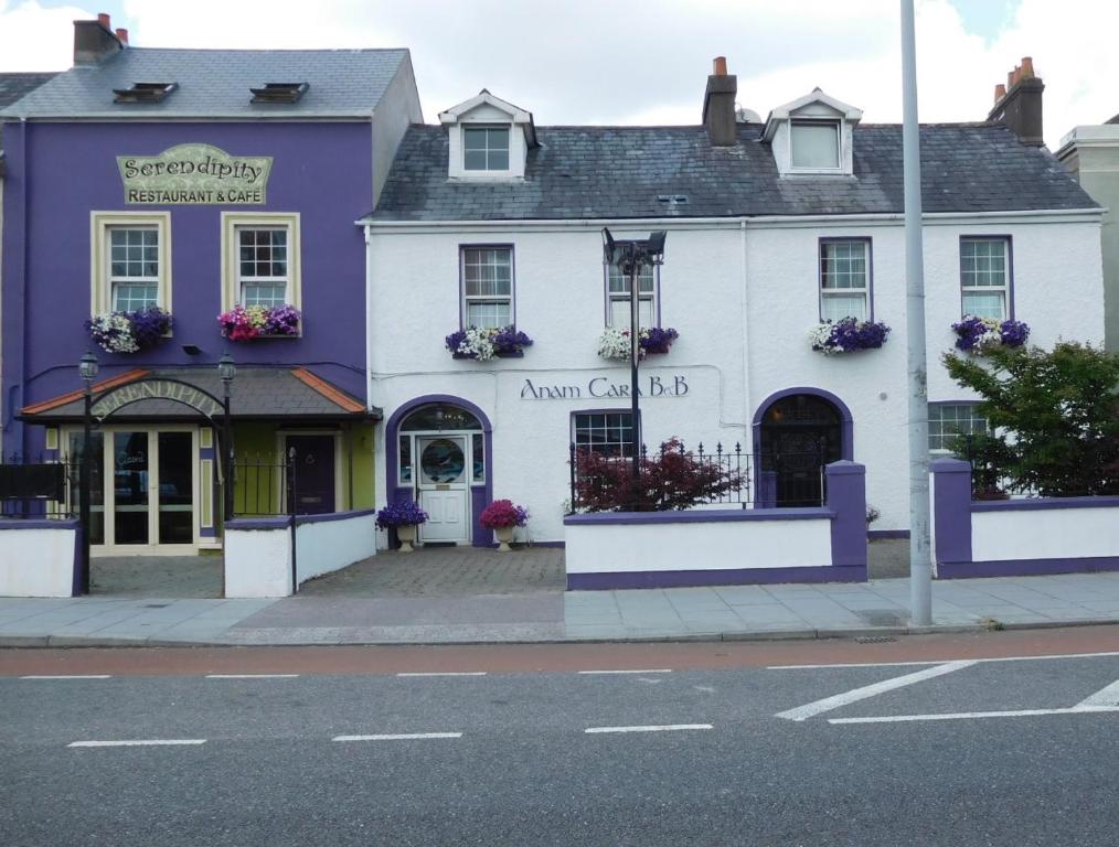 IndicatedFairy fort / earthen ringfort · 709 yd
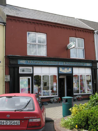 Rosscarbery Pharmacyhouse · 994 yd
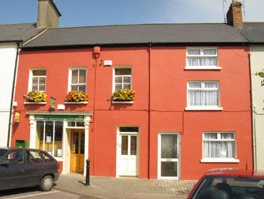 Rosscarbery Post Officehouse · 1014 yd
 Ecclesiastical site in Town LandsEcclesiastical site · 1184 yd
 Lookout over MillcoveViewpoint · 1632 yd
 Castle SalemCastle · 1.3 mi
 The Warren DunesNature reserve · 1.5 mi
 Downeen Castle (in Ruins)Castle, tower house · 1.5 mi
 Trá an tAonaighBeach / strand · 1.6 mi
 The WarrenBeach / strand · 1.6 mi
 Pol a Dabh West (Blowhole)Viewpoint · 1.7 mi
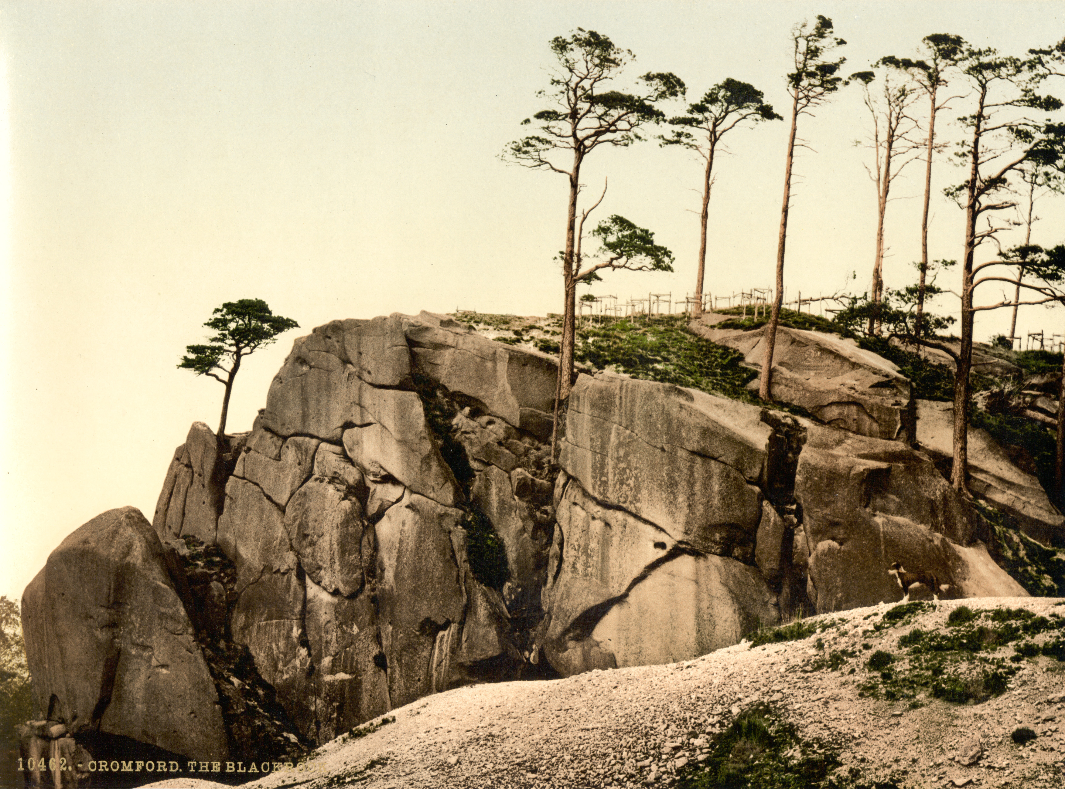 The Black RocksIslet · 1.9 mi