
What is recorded here
In level pasture, at the top of a S-facing slope. A raised square area (c. 35m N-S; c. 35m E-W), with rounded corners, defined by an earthen bank (int. H 0.1m; ext. H 2.6m). Some large boulders, possibly from field clearance, occur on the bank along the E and NW arcs. There are numerous gaps in the bank. The S half of…
Read the whole record
From the National Monuments Service (Archaeological Survey of Ireland) record KE059-010
Places near here
Photo credits
- Maker not stated on source page, www.irelandhighlights.com
- Maker not stated on source page, megalithics.com
- Maker not stated on source page, commons.wikimedia.org
- Maker not stated on source page, www.geograph.ie
- Marathon, Geograph · CC BY-SA 2.0
- Golfing in Ireland; photographer not stated, Source publisher
- David Dixon, Geograph · CC BY-SA 2.0
- Peter Gerken, Geograph · CC BY-SA 2.0
- Dumphasizer, Wikimedia Commons · CC BY-SA 2.0
- bdolicki, Wikimedia Commons · CC BY-SA 3.0
- Maker not stated on source page, www.pinterest.com
 Fairy fort / earthen ringfort in MastergeehaFairy fort / earthen ringfort · 251 yd
Explorer Tom Fairy fort / earthen ringfort in Mastergeeha has vanished so hard you need aerials to spot it. The fiddler played all…
 Megalithic structure in AnnaghbegMegalithic structure · 1211 yd
Explorer Tom Megalithic structure in Annaghbeg is deeply suspicious of the postman because he never delivers anything important.…
 Church in Kilbrean BegChurch · 2.0 mi
Explorer Tom Church in Kilbrean Beg was nearly sold for a horse once, but the buyer changed his mind. Now it hides among the trees…
 Flesk CastleCountry house · 4.3 mi
Explorer Tom Flesk Castle was built by a man who thought he could paint rubble to look like real stone and fool everyone, including…
 Monsignor Hugh O'Flaherty MemorialMemorial · 5.0 mi
Explorer Tom The Monsignor Hugh O'Flaherty Memorial in County Kerry thinks the road leading to it is a personal insult to its…
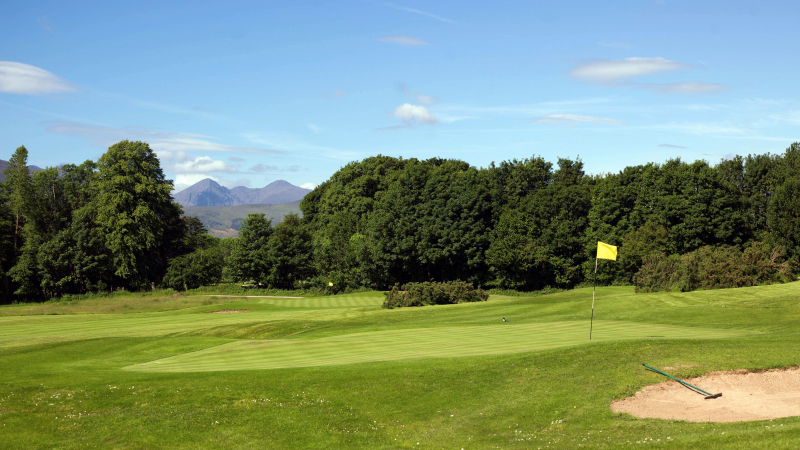 Castlerosse Golf ClubGolf course · 5.3 mi
 Ross Castle RingwayWalking route · 6.0 mi
Explorer Tom Ross Castle Ringway sounds like a fancy office party, but it's really just a circle of rocks judging your life choices.…
 Castlelough BayBay · 6.1 mi
Explorer Tom Castellough Bay has a bird that refuses to leave no matter how much the wind tries to blow it away, and frankly, I envy…
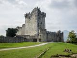 Ross CastleVisitor information · 6.3 mi
Explorer Tom Ross Castle would tell its younger self to stop trying to look mysterious and just admit it’s a fancy hut that got…
 Ross Castle (in ruins)Castle, tower house · 6.3 mi
Explorer Tom Ross Castle in County Kerry is moaning about damp to the council like it’s a grumpy old tenant. It’s perched on a rock…
 Ross Island CaveCave · 6.6 mi
Explorer Tom Ross Island Cave in Kerry has a tall tale about a hidden tunnel that goes straight to the pub. The landlord says he’s…
 Cave in Ross IslandCave · 6.6 mi
Explorer Tom Cave in Ross Island would survive a zombie attack by simply closing its mouth and holding its breath for a century.…
More archaeology and monuments in County Kerry · All of County Kerry

What do you know about this place?Tap to add a comment or ask a question