
What is recorded here
Situated on slight W-facing slope in pasture. Raised circular area (dims. 19m N-S; 18m E-W) enclosed by a scarp (H 0.8m at E; H 2.3m at W). There is no fosse visible at ground level. The original entrance is not recognisable. The interior of site has been quarried away leaving a rectangular, flat-bottomed depression (dims. 12m NNW-SSE; 10m WSW-ENE; D below interior 0.4m) which is defined by a scarp. Spoil from this quarry has been deposited around the top of the scarp which defines the site.
Compiled by: Mark Keegan
Date of upload: 19 January 2011
The monument record does not grant public access. Check the route and ask the landowner before entering private land.
- What survives
- Recorded monument
Places near here
 Saint Adamnan's Wellmonument · 628 yd
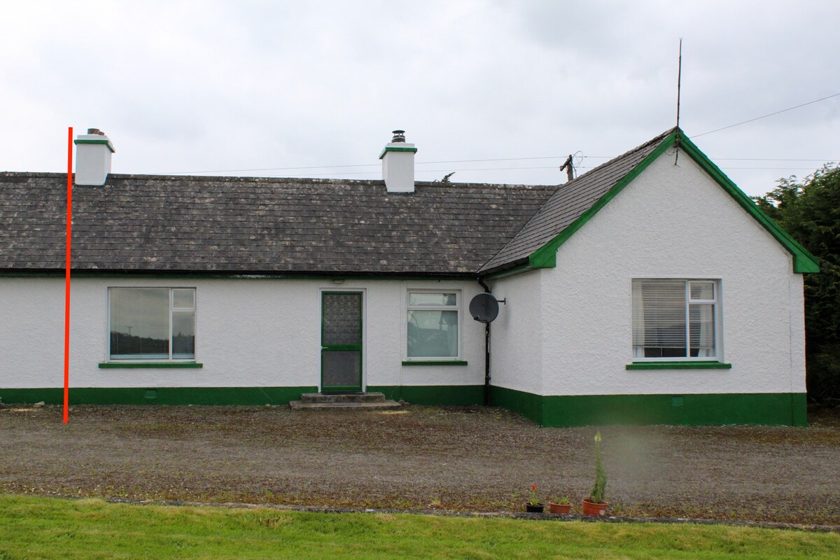 IndicatedChurch · 675 yd
 Enclosure in Skreen MoreEnclosure · 750 yd
 Enclosure in ToberawnaunEnclosure · 1005 yd
 CastleCastle, Anglo-Norman masonry castle · 1.2 mi
 Dunmoran StrandBeach / strand · 1.3 mi
 Aughris BeachBeach / strand · 1.8 mi
 Aughris HeadHeadland · 2.7 mi
 Bawn in CarrowbrickeenBawn · 2.8 mi
 Valley WoodForest · 3.2 mi
 Knockalongy North-East TopMountain / peak · 3.3 mi
 Giant's GraveArchaeological place · 3.4 mi
Other information
Photo: Credit not shown in the picture search · Rights wording not checked; contact us if this picture should be removed