What is recorded here
In pasture, located to W of an Anglo-Norman castle (SL013-048001-) and to N of a moated site (MA013-048005-). A N-S bye-road intervenes between the earthworks and the castle.
Listed in the RMP (1995) as ‘earthworks’ based on features visible in an aerial photograph (ACP V203/66-5, roll 128, pr. 25). The earthworks cover an area of c. 120m N−S by c. 65m E−W in the E part of a modern rectangular walled field, bordered on the E side by the road. The earthworks are not indicated on any edition of the OS 6-inch maps, but this part of the field is indicated as ‘Fair Green’ on the 3rd edition OS 6-inch map.
In aerial view, the earthworks consist of a series of linear undulations outlining a patchwork of small subrectangular spaces (max. dims. 20-30m). The NE−SW alignment of the plots runs counter to the predominantly N−S/E−S layout of the present-day field system. The remains may represent house or garden plots, possibly associated with settlement which grew up around the castle in the medieval or post-medieval period. The remains are indistinct and difficult to trace at ground level.
Compiled by: Jane 0'Shaughnessy
Date of upload: 19 June 2020
The monument record does not grant public access. Check the route and ask the landowner before entering private land.
- What survives
- Recorded monument
Places near here
 CastleCastle, Anglo-Norman masonry castle · 74 yd
 Enclosure in ArdabroneEnclosure · 143 yd
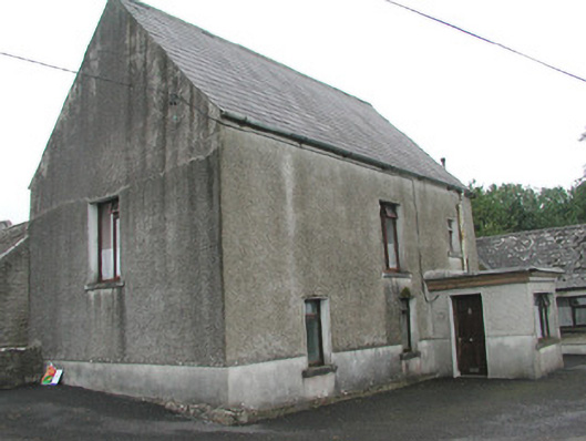 Stand Househouse · 227 yd
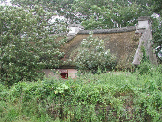 P. Breheneyhouse · 772 yd
 CaveMan-made underground passage · 1138 yd
 Dunmoran StrandBeach / strand · 1.1 mi
 Bawn in CarrowbrickeenBawn · 1.8 mi
 Aughris BeachBeach / strand · 2.0 mi
 Derkmore PointHeadland · 2.3 mi
 Giant's GraveArchaeological place · 2.8 mi
 Aughris HeadHeadland · 3.0 mi
 Lahanacappul IslandIslet · 3.2 mi