What is recorded here
In undulating pasture, on very slight N-facing slope, 60m W of townland boundary with Kildonnell and 165m N of townland boundary with Kilcurly. Not depicted on the 1840 OSi 6-inch map or the 1897 OSi 25-inch map. Potential archaeological site identified from examination of 1:10000 Bord Gáis Éireann aerial photographs during work on the Curraleigh–Limerick gas pipeline in 1986 (BGE No. 40, Site No. 022213). Visited by the ASI in 2000 and described no surface remains visible. Potential site not visible on Google Earth orthoimages taken 2020.
See attached Bord Gáis Éireann aerial photo (BGE No. 40) with site labelled 022213
Compiled by: Fiona Rooney
Date of upload: 14 August 2020
The monument record does not grant public access. Check the route and ask the landowner before entering private land.
- What survives
- Recorded monument
Places near here
 Maryville Housecountry house · 521 yd
 Field system in Kilderry (pubblebrien By.),kilderry (smallcounty By.)Field system · 933 yd
 Partially hachuredFairy fort / earthen ringfort · 941 yd
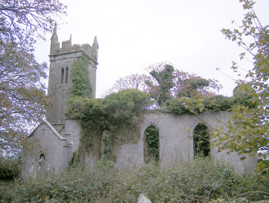 Ballycahane Churchchurch/chapel · 1259 yd
 Castle (in ruins)Castle, hall-house · 1428 yd
 European ashEuropean ash · 1.2 mi
 Villiers WellSpring · 1.4 mi
 (Site of) Garryellen CastleCastle, unclassified · 1.6 mi
 Monasteranenagh AbbeyHeritage attraction · 2.3 mi
 Biodiversity in the Maigue CatchmentVisitor information · 3.6 mi
 Dysert AenghusaHeritage attraction · 4.5 mi
 KnockfeerinaMountain / peak · 8.5 mi