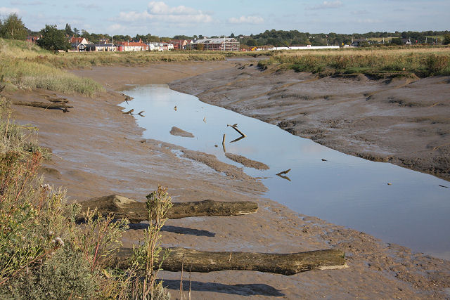
What is recorded here
The following description is derived from both the published 'Archaeological Inventory of County Louth' (Dublin: Stationery Office, 1986) and the 'Archaeological Survey of County Louth' (Dublin: Stationery Office, 1991). In certain instances the entries have been revised and updated in the light of recent research.
Date of upload/revision: 17 July 2007
Oval area enclosed by single ditch. Excavated by M. Gowen in 1982. Two Man-made underground passages (LH007-083----, LH007-084----) within enclosure.
The monument record does not grant public access. Check the route and ask the landowner before entering private land.
- What survives
- Recorded monument
Places near here
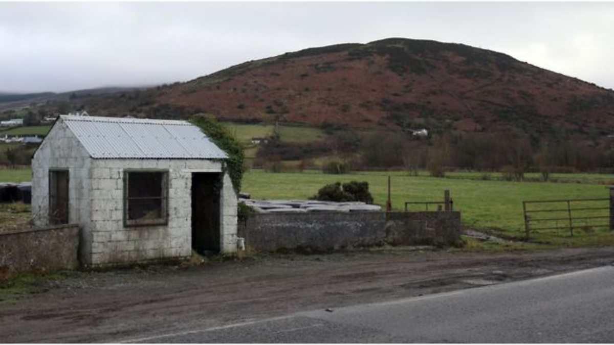 Enclosure in HaggardstownEnclosure · 843 yd
 Dundalk Institute of Technologyfactory · 962 yd
 CastleCastle, unclassified · 1333 yd
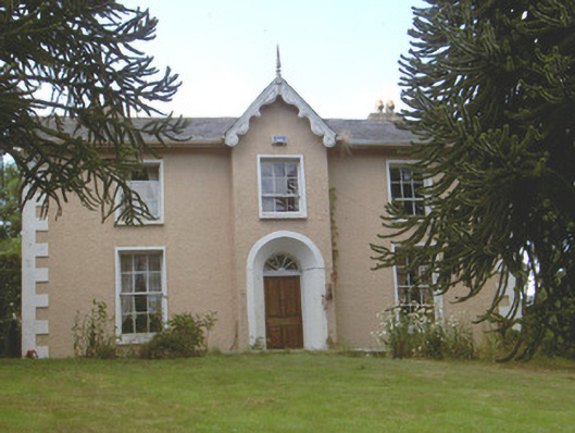 Brunker Lodgehouse · 1401 yd
 IndicatedCastle, unclassified · 1492 yd
 Enclosure in MullagharlinEnclosure · 1658 yd
 John WattersMemorial · 1.9 mi
 Louth County MuseumMuseum · 1.9 mi
 Bombing 1975Memorial · 1.9 mi
 Photo GalleryHeritage attraction · 2.1 mi
 Soldiers' PointHeadland · 2.3 mi
 Battle of FaughartMajor battlefield · 4.4 mi
Other information
Photo: Credit not shown in the picture search · Rights wording not checked; contact us if this picture should be removed