What is recorded here
Visible as a circular feature (diam. c. 50m) in pasture on vertical aerial photographs (OS 9312-13) taken in 1984. It is not visbile at ground level in pasture.
Date of upload/revision: 11th August, 2011. Compiled by: Michael Moore.
The monument record does not grant public access. Check the route and ask the landowner before entering private land.
- What survives
- Recorded monument
Places near here
 Embanked enclosureEnclosure · 532 yd
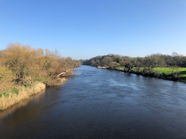 Enclosure in Ballyduff Beg,ballymacmague EastEnclosure · 1333 yd
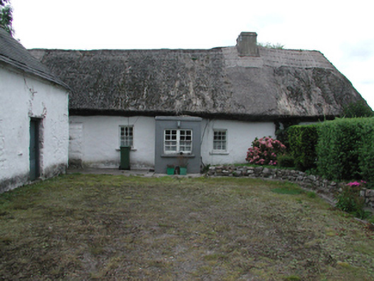 Kilrush Cottagefarm house · 1654 yd
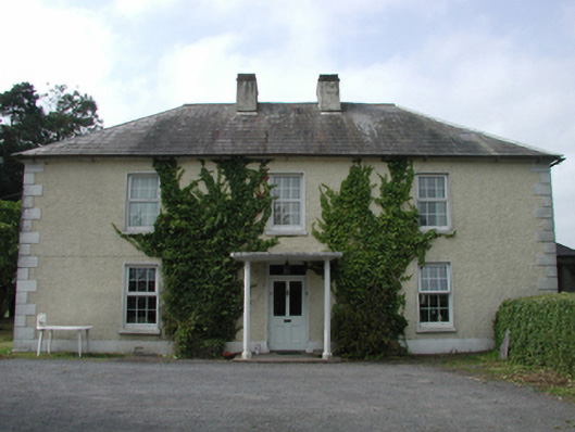 farm housefarm house · 1670 yd
 Castle (in ruins)Castle, unclassified · 1728 yd
 CastleCastle, motte · 1.2 mi
 Master McGrathMemorial · 1.6 mi
 Grattan SquareVisitor information · 1.7 mi
 Waterford County MuseumMuseum · 1.8 mi
 Dungarvan World War I MemorialMemorial · 1.9 mi
 Dungarvan CastleCastle · 1.9 mi
 Cunnigar PointHeadland · 2.1 mi