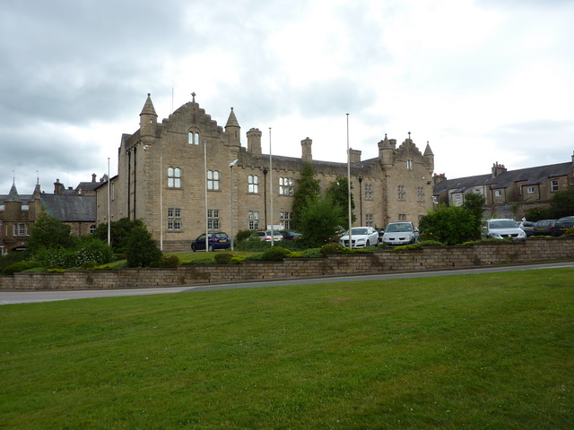
What is recorded here
Situated in level wet pasture. Not marked on any edition of the OS 6-inch map. Slightly raised roughly circular area (diam. 30m) defined by a low, broadly sloping scarp (Wth 2.1-4m; ext. H 0.4m). A N-S orientated field boundary abuts the external base of the scarped edge at E. The original entrance is not recognisable.
Compiled by: Patrick F. O'Donovan
Date of upload: 21 April 2011
The monument record does not grant public access. Check the route and ask the landowner before entering private land.
- What survives
- Recorded monument
Places near here
 IndicatedFairy fort / earthen ringfort · 155 yd
 Fairy fortArchaeological place · 818 yd
 Flour millMill, unclassified · 862 yd
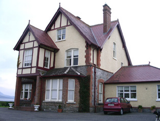 Rossavillehouse · 1401 yd
 Drumcliff CemeteryGraveyard · 1.6 mi
 Grave of WB YeatsHeritage attraction · 1.7 mi
 European BeechEuropean Beech · 1.9 mi
 CastleCastle, unclassified · 2.1 mi
 Castle (in Ruins)Castle, unclassified · 2.8 mi
 Kings MountainMountain / peak · 3.1 mi
 Floods WoodForest · 3.1 mi
 Oyster IslandIslet · 3.4 mi
Other information
Photo: Credit not shown in the picture search · Rights wording not checked; contact us if this picture should be removed