What is recorded here
Located on a fairly level landscape. The cropmark of a circular feature (diam. c. 40m) defined by a single fosse is visible only on OSI images (2005). It was first reported by Cathy Davin.
See the attached view from OSI images (2005)
Compiled by: Michael Moore
Date of upload: 9 September 2020
The monument record does not grant public access. Check the route and ask the landowner before entering private land.
- What survives
- Recorded monument
Places near here
 Enclosure in GreenvilleEnclosure · 779 yd
 Fulacht fia in BallyorrillFulacht fia · 1246 yd
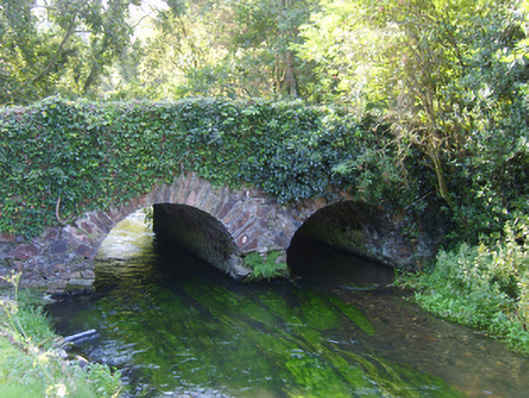 Ballybough Bridgebridge · 1258 yd
 Prospect Househouse · 1.0 mi
 Bernard Dunne Memorial BenchMemorial · 1.1 mi
 Le Tour De France en EnniscorthyMemorial · 1.2 mi
 Daphney CastleCastle, unclassified · 1.2 mi
 Battle of Vinegar HillMajor battlefield · 1.4 mi
 National 1798 CentreMuseum · 1.6 mi
 Battle of Vinegar Hill, 1798Monument · 1.9 mi
 Vinegar HillMountain / peak · 1.9 mi
 CastleCastle, ringwork · 3.1 mi