What is recorded here
On SE facing slope in undulating terrain under pasture. Depression at base of slope would appear to be a largely filled-in quarry with a lot of soil and cleared vegetation dumped around the edge. Monument is indicated on the 1st (1840) ed. OS 6-inch map as a circular enclosure (diam. c. 30m). Enclosure probably levelled between 1840, when it was indicated on the 1st ed. OS 6-inch map and 1906 when the map is not indicated on the OS 6-inch map. Not visible at ground level.
Compiled by: Jean Farrelly
Date of upload: 26 August 2011
The monument record does not grant public access. Check the route and ask the landowner before entering private land.
- What survives
- Recorded monument
Places near here
 Enclosure in Garryandrew NorthEnclosure · 612 yd
 Church (in ruins)Church · 977 yd
 Enclosure in Stephenstown,stephenstownbegEnclosure · 1358 yd
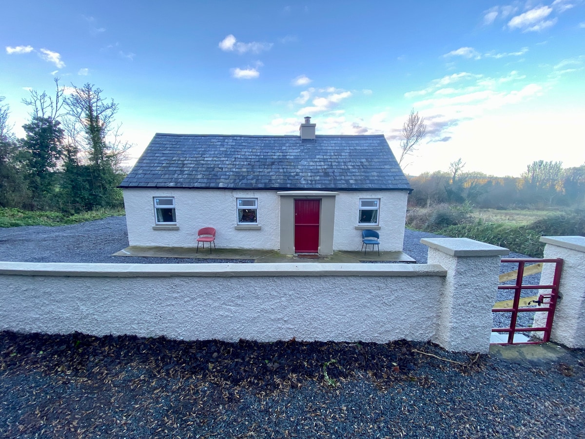
 Commons Cottagehouse · 1365 yd
 CastleCastle, ringwork and bailey · 1409 yd
 Castle (Site of)Castle, unclassified · 1513 yd
 Cashel Folk MusuemMuseum · 3.4 mi
 Black mulberryBlack mulberry · 3.5 mi
 The Rock Of CashelVisitor information · 3.6 mi
 Cormac's ChapelHeritage attraction · 3.6 mi
 Ballyknock HillMountain / peak · 4.0 mi
 Pedunculate OakPedunculate Oak · 6.2 mi