
What is recorded here
Situated in pasture. Depicted as an earthwork on Larkin's 1808 map of Co. Wetmeath (NLI, MS 46,580). Not depicted on the 1837 ed. OS 6-inch map or the revised 1913 ed. OS 25-inch map. Monument described in 1981 as no surface remains visible. This area is visible a low natural rise intersected by a field fence. There are no traces of any banks or fosses. Outline of circular-shaped earthwork (approx. diam. c. 40m) bisected by a post 1700 field boundary is visible today on Digital Globe aerial photography.
Compiled by Alison McQueen, Vera Rahilly and Caimin O’Brien.
Date of upload: 30 September 2019
A local fairy fort (ringfort/rath); wider significance not recorded.
The monument record does not grant public access. Check the route and ask the landowner before entering private land.
- What survives
- Recorded monument
Places near here
 La Mancha Housedemesne walls/gates/railings · 119 yd
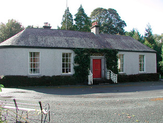 Belleville Cottagecountry house · 400 yd
 Ecclesiastical enclosure in LynnEcclesiastical enclosure · 703 yd
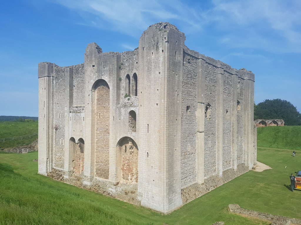 CastleCastle, unclassified · 860 yd
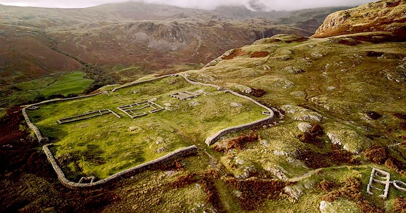 Hachured, Whelans FortFairy fort / earthen ringfort · 1603 yd
 Belvedere house and gardensVisitor information · 1731 yd
 Mollie Moo's Pet FarmHeritage attraction · 1.4 mi
 Ladestown Ho.House, fortified house · 1.5 mi
 Blind IslandIslet · 1.7 mi
 Ash IslandIslet · 2.5 mi
 United Nations War MemorialMemorial · 3.4 mi
 Saint Brigid's WellSpring · 4.2 mi
Other information
Photo: Credit not shown in the picture search · Rights wording not checked; contact us if this picture should be removed