What is recorded here
Enclosure in Lusk is a buried circular ditch, nearly forty metres across, sleeping beneath an ordinary arable field. It has no visible entrance, suggesting exclusion, ritual or forgotten ownership rather than casual passage. The land still marks it through crop growth, preserving a boundary people stopped seeing but never stopped drawing.
Located in a large arable field c. 800m SSW of Lusk Round Tower (DU008-010003-), cropmarks indicate the presence of the subsurface remains of a large circular enclosure. Small unnamed stream located c. 56m to the E. The cropmarks, visible on Google Earth imagery (June 2018), indicate an enclosure (ext. diam. c. 39.5m) defined by a ditch (Wth c. 1m) that is most clearly visible on the above aerial imagery along the W perimeter. The is no evidence for an entrance gap through the enclosure.
Compiled by: Tom Condit
Uploaded on: 22 April 2021
The monument record does not grant public access. Check the route and ask the landowner before entering private land.
- What survives
- Recorded monument
Places near here
 St. Catherines WellHoly well · 479 yd
 Chapel FarmMemorial · 487 yd
 Orlynn ParkMemorial · 510 yd
 Cremation pit in LuskCremation pit · 512 yd
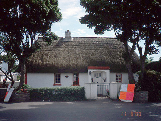 Clay Cottagehouse · 622 yd
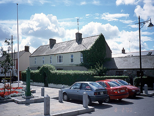 Fingal Househouse · 968 yd
 The Birds of Rogerstown EstuaryVisitor information · 1.4 mi
 Turvey Allotments and Nature ReserveNature reserve · 1.6 mi
 Turvey HouseCastle, tower house · 1.7 mi
 CastleCastle, unclassified · 1.8 mi
 Roseville Business ParkVisitor information · 2.0 mi
 Newbridge House and DemesneHeritage attraction · 2.3 mi