What is recorded here
From the National Monuments Service (Archaeological Survey of Ireland) record LA022-008
Places near here
Photo credits
- Maker not stated on source page, monumentalireland.ie
- Maker not stated on source page, www.laoistoday.ie
- Maker not stated on source page, www.discoverireland.ie
- National Inventory of Architectural Heritage
- Maker not stated on source page, commons.wikimedia.org
- Maker not stated on source page, www.rte.ie
- Maker not stated on source page, www.flickr.com
- Maker not stated on source page, visionsofthepastblog.com
- A.-K. D., Wikimedia Commons · CC0
- Darrin Antrobus, Wikimedia Commons · CC BY-SA 2.0
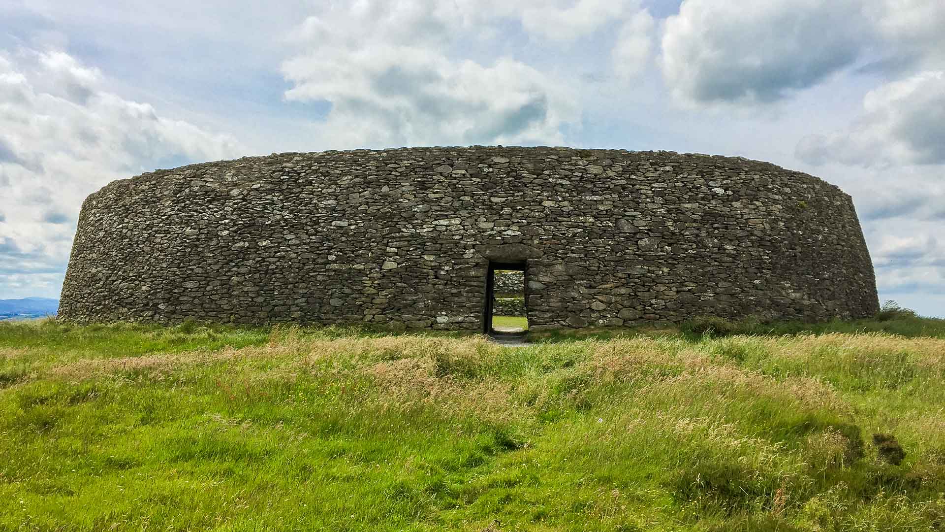 Fairy fort / earthen ringfort in ManninFairy fort / earthen ringfort · 1016 yd
Explorer Tom Fairy fort / earthen ringfort in Mannin is currently losing a staring contest with the nearest tree. The bank is gone…
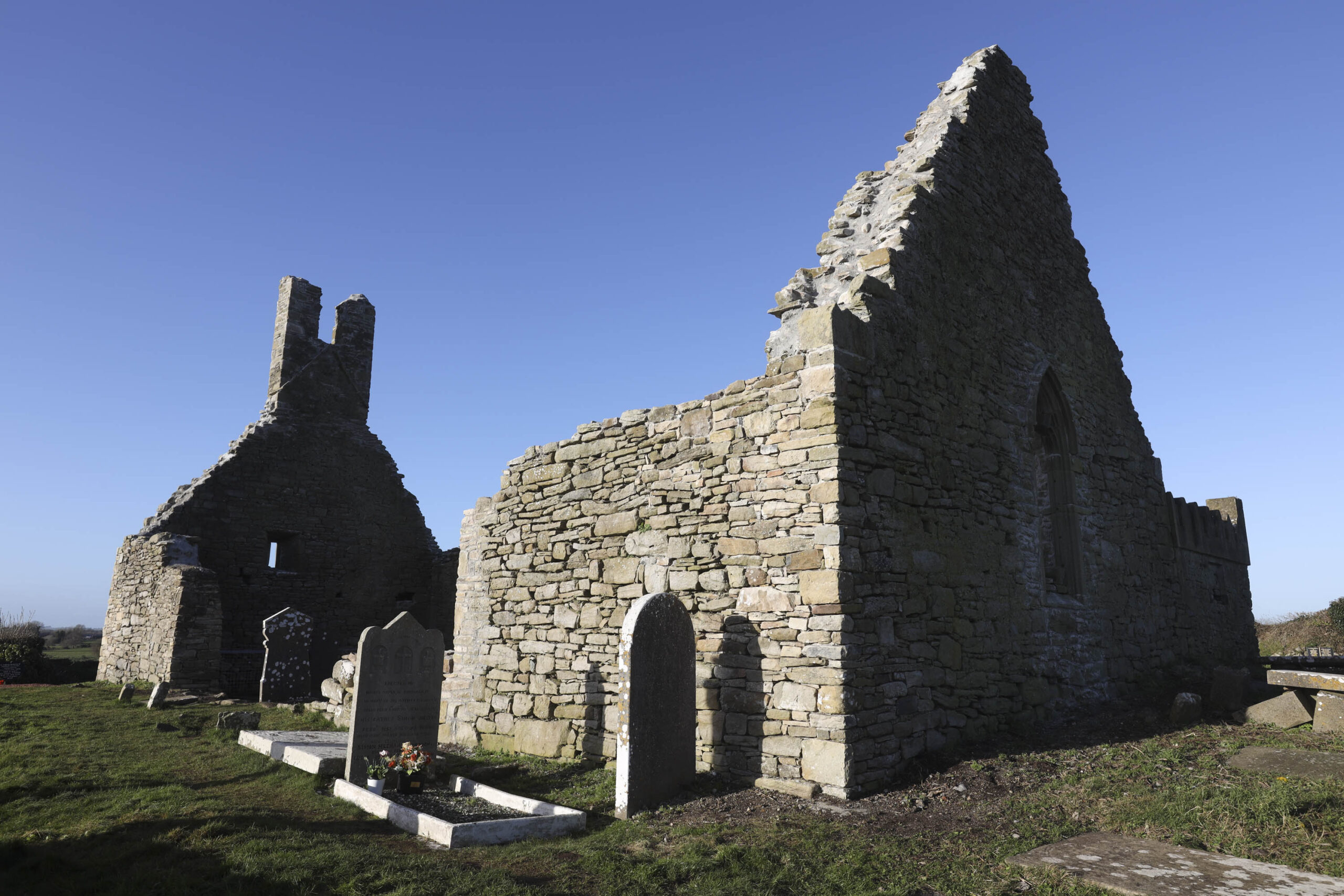 Church in KilbegChurch · 1640 yd
Explorer Tom Church in Kilnaseer is hiding in plain sight, which is brilliant because I can't find it either. It's supposedly the…
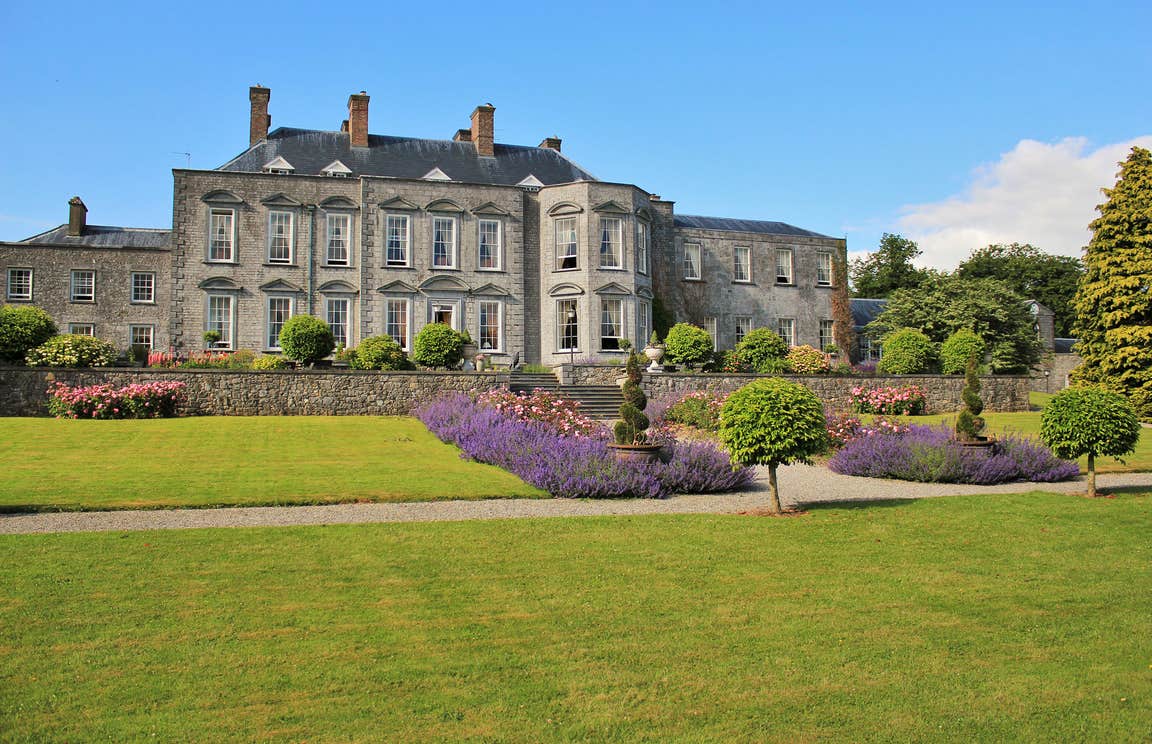 CastleCastle, motte · 1723 yd
Explorer Tom Peafield’s motte handles nosy neighbours by just being a really big, confusing bump in a gravel ridge. Monsignor Tyan…
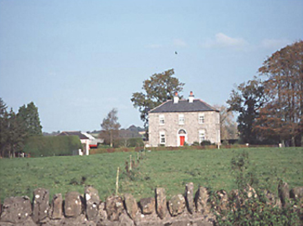 Glebe FarmHouse · 1.3 mi
Explorer Tom Glebe Farm in Keelough was once ruled by a goat named Gerald, I’m pretty sure. It’s a two-storey Georgian house that…
 Standing stone in Clonmeen South,garryduff (clanmallagh By.)Standing stone · 1.3 mi
Explorer Tom Standing stone in Clonmeen South, Garryduff bragged about surviving the storm of ’98 but honestly, it just looked like…
 Kilcotton GAA pitchGAA ground · 1.5 mi
 Bridge in Kildrinagh,peafield,shangownaghBridge · 1.5 mi
Explorer Tom Bridge in Kildrinagh got the map wrong because it was too busy hiding from the river. It found human remains down…
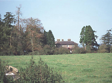 Aghaboe GrangeHouse · 1.7 mi
Explorer Tom Aghaboe Grange is probably rearranging its furniture when nobody’s looking, just to see if you notice the difference.…
 Church in KildrinaghChurch · 1.7 mi
Explorer Tom Killabban Church has good views in all directions, which is great if you're lost and need to figure out where the pub…
 Graveyard in KildrinaghGraveyard · 1.7 mi
Explorer Tom Graveyard in Kildrinagh has strict rules: no running, no shouting, and absolutely no daggers. It keeps four bronze ones…
 Aghaboe MoatCastle, motte and bailey · 2.1 mi
Explorer Tom Aghaboe Moat is basically a medieval speed bump that Strongbow accidentally left behind in 1172. It’s got a little…
 Aghaboe AbbeyVisitor attraction · 2.2 mi
Explorer Tom Aghaboe Abbey in County Laois has a ghost who is too lazy to actually haunt it because the floors are cold. He just…
More archaeology and monuments in County Laois · All of County Laois

What do you know about this place?Tap to add a comment or ask a question