What is recorded here
In pasture, on gentle S-facing slope, just above flood plain of stream. No visible surface trace. Enclosure not marked on either 1840 or latest edition OS 6-inch maps. Identified on aerial photograph (GSI S.657/6 16.4.1974) as large sub-circular cropmark (dims. c. 59m N-S; c. 55m E-W) possibly truncated by field boundary (long-axis E-W) to N. Adjoins enclosure (TS069-075----) to E. Enclosure (TS069-020----) c. 120m to NNW and mill (TS069-022----) c. 150m to SE.
Compiled by: Jean Farrelly
Date of upload: 26 August 2011
The monument record does not grant public access. Check the route and ask the landowner before entering private land.
- What survives
- Recorded monument
Places near here
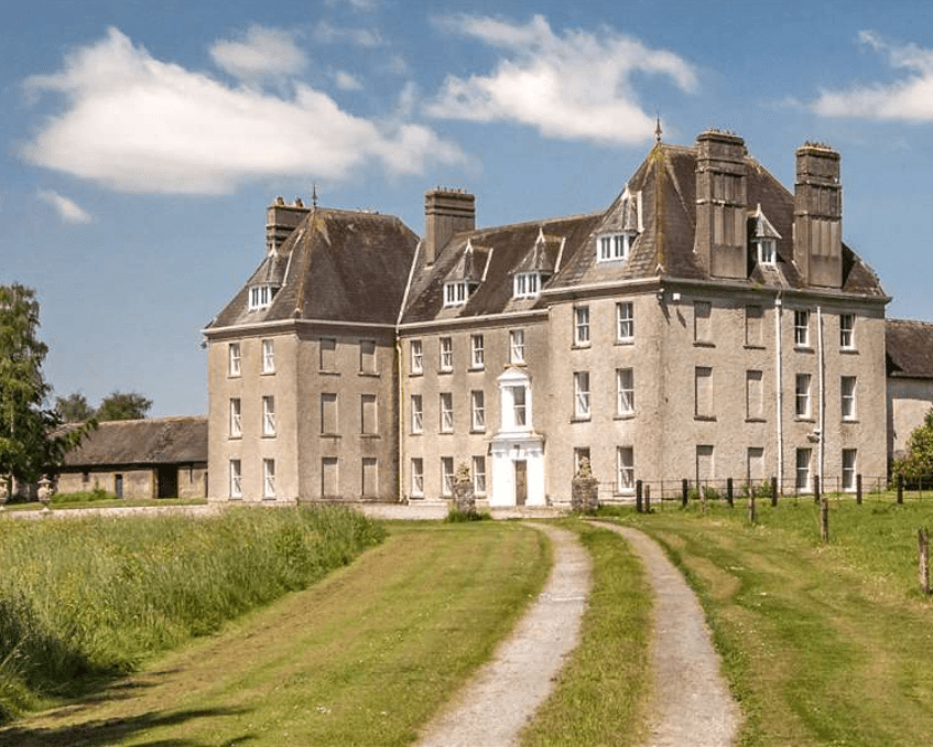 Enclosure in LowesgreenEnclosure · 177 yd
 CastleCastle, ringwork and bailey · 570 yd
 Enclosure in RosegreenEnclosure · 570 yd
 Castle (Site of)Castle, unclassified · 666 yd
 Kilbragh Church (in ruins)Church · 1507 yd
 Church (in ruins)Church · 1511 yd
 Cashel Folk MusuemMuseum · 4.3 mi
 Black mulberryBlack mulberry · 4.3 mi
 The Rock Of CashelVisitor information · 4.4 mi
 Cormac's ChapelHeritage attraction · 4.5 mi
 Ballyknock HillMountain / peak · 4.7 mi
 Pedunculate OakPedunculate Oak · 5.4 mi