What is recorded here
On a WSW-facing slope in pasture. Depicted as an irregularly shaped enclosure with the designation ‘Fort’ on the 1837 edition of the OS 6-inch map and as a circular enclosure on the 1914 edition. A report in 1975 (SMR file) recorded a circular area (diam. c. 46m) enclosed by a wide low earthen bank that was partially levelled at SE. The interior was unusual in that its level dropped from the bank to a broad regular depression in the centre. The monument is not visible at ground level.
Compiled by: Patrick F. O'Donovan
Date of upload: 2 February 2012
The monument record does not grant public access. Check the route and ask the landowner before entering private land.
- What survives
- Recorded monument
Places near here
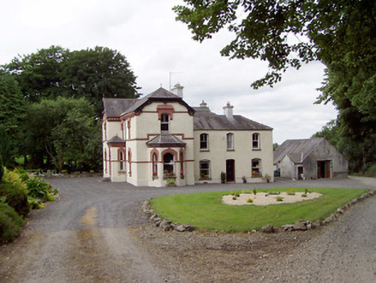 Corbeagh Househouse · 585 yd
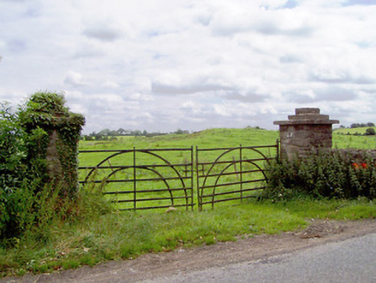 gates/railings/wallsgates/railings/walls · 1024 yd
 Round IslandCrannog · 1210 yd
 BarrowBarrow, ring-barrow · 1242 yd
 Moat & CastleCastle, motte and bailey · 1429 yd
 IndicatedBawn · 1493 yd
 Ballinalee Forest WalkForest · 2.3 mi
 Bully's Acregraveyard/cemetery, unknown · 2.6 mi
 Clonfin Ambush MemorialMemorial · 2.8 mi
 Cloonfin WoodForest · 3.3 mi
 Edgeworthstown BypassMemorial · 3.5 mi
 Granard MotteMotte-and-bailey castle remains · 6.4 mi