What is recorded here
Enclosure in Lissameen is a hidden circular fort in County Longford, marked only by a low earthen bank and a central depression on a WSW-facing pasture slope. It appeared as an irregular fort on the 1837 map, became circular on the 1914 map, and was still measurable in 1975 despite partial levelling at the southeast. The land may have swallowed its edges, but the shape remained large enough to measure and strange enough to remember.
On a WSW-facing slope in pasture. Depicted as an irregularly shaped enclosure with the designation ‘Fort’ on the 1837 edition of the OS 6-inch map and as a circular enclosure on the 1914 edition. A report in 1975 (SMR file) recorded a circular area (diam. c. 46m) enclosed by a wide low earthen bank that was partially levelled at SE. The interior was unusual in that its level dropped from the bank to a broad regular depression in the centre. The monument is not visible at ground level.
Compiled by: Patrick F. O'Donovan
Date of upload: 2 February 2012
The monument record does not grant public access. Check the route and ask the landowner before entering private land.
- What survives
- Recorded monument
Places near here
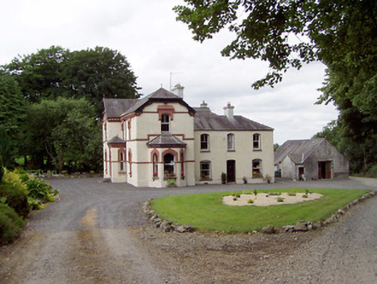 Corbeagh Househouse · 585 yd
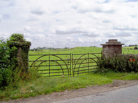 gates/railings/wallsgates/railings/walls · 1024 yd
 Round IslandCrannog · 1210 yd
 BarrowBarrow, ring-barrow · 1242 yd
 Moat & CastleCastle, motte and bailey · 1429 yd
 IndicatedBawn · 1493 yd
 Ballinalee Forest WalkForest · 2.3 mi
 Bully's Acregraveyard/cemetery, unknown · 2.6 mi
 Clonfin Ambush MemorialMemorial · 2.8 mi
 Cloonfin WoodForest · 3.3 mi
 Edgeworthstown BypassMemorial · 3.5 mi
 Granard MotteMotte-and-bailey castle remains · 6.4 mi