What is recorded here
In pasture 160m W of townland boundary with Lurraga. Depicted on the 1840 0S 6-inch map as a roughly circular-shaped area enclosed by a bank. It is not depicted on the 1897 OS 25-inch map. No surface remains visible today on Google Earth orthoimage taken 2020. Possible faint cropmark of enclosure visible on Google Earth orthoimage taken 06/02/2018.
See attached Google Earth orthoimages
Compiled by: Martin Fitzpatrick
Date upload 19 June 2020
The monument record does not grant public access. Check the route and ask the landowner before entering private land.
- What survives
- Recorded monument
Places near here
 Newborough Housecountry house · 698 yd
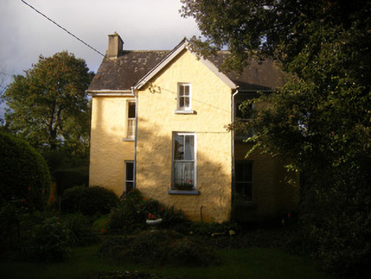 The Villahouse · 977 yd
 Enclosure in BallycarraneEnclosure · 1366 yd
 Grave YardGraveyard · 1508 yd
 European BeechEuropean Beech · 1.9 mi
 European YewEuropean Yew · 1.9 mi
 Site of CastleCastle, unclassified · 2.0 mi
 Desmonds Castle (in ruins)Castle, Anglo-Norman masonry castle · 2.0 mi
 Adare Desmond CastleMedieval castle · 2.0 mi
 Desmond CastleHeritage attraction · 2.0 mi
 Adare Tourist OfficeVisitor information · 2.5 mi
 Sailors HaggardMemorial · 5.0 mi